Bahamas Vector EPS maps
Welcome to epsmaps.com, your go-to source for high-quality digital maps in Adobe Illustrator EPS format. Our collection includes maps for various countries, each with unique features and details.
One of our popular offerings is the Bahamas Vector EPS maps. These maps are perfect for businesses operating in the Bahamas or those looking to expand their operations in the region. The maps are created using vector graphics, which means they can be scaled to any size without losing quality.
The Bahamas Vector EPS maps include all the major cities and towns in the country, as well as important landmarks and geographical features. You can use these maps to plan your business operations, create marketing materials, or simply to explore the beauty of the Bahamas.
The Bahamas is an island nation located in the Caribbean Sea. It is known for its stunning beaches, crystal-clear waters, and vibrant culture. The country is made up of over 700 islands, with the largest being New Providence Island, where the capital city of Nassau is located.
Other important cities in the Bahamas include Freeport, Marsh Harbour, and George Town. The country is also home to several popular tourist destinations, such as the Exuma Cays, Andros Island, and Eleuthera Island.
Whether you are a business owner or a traveler, the Bahamas Vector EPS maps are an essential tool for navigating this beautiful country. So why wait? Visit epsmaps.com today and start exploring the world with our high-quality digital maps.
Showing all 4 results
-

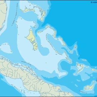
bahamas illustrator eps map vector
29.00 € Select options -
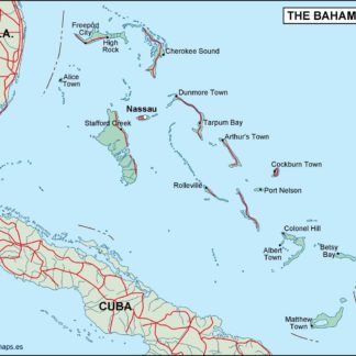
bahamas political eps map vector
99.00 € Select options -
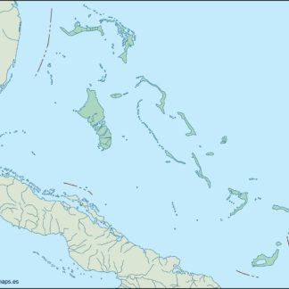
bahamas blind eps map vector
35.00 € Select options -
bahamas eps map vector
39.00 € Select options

Showing all 4 results