Namibia Vector EPS maps
Namibia Vector EPS maps are a collection of digital maps created using Adobe Illustrator software. These maps are designed to provide accurate and detailed information about the geography, topography, and landmarks of Namibia, a country located in southern Africa.
The Namibia Vector EPS maps include a range of features, such as the location of major cities, towns, and villages, as well as important landmarks like national parks, rivers, and mountains. These maps are designed to be highly detailed and accurate, providing users with a comprehensive view of the country’s geography and topography.
One of the key benefits of using Namibia Vector EPS maps is that they are highly customizable. Users can easily edit and modify the maps to suit their specific needs, adding or removing features as required. This makes these maps ideal for a range of applications, from educational materials to business presentations.
Overall, Namibia Vector EPS maps are an essential tool for anyone looking to explore or understand the geography of Namibia. With their high level of detail and accuracy, these maps provide a comprehensive view of the country’s landscape, making them an invaluable resource for researchers, educators, and businesses alike.
Showing all 10 results
-

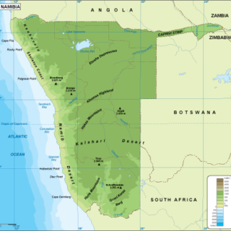
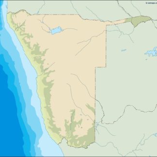
Namibia physical eps map vector
50.00 € Select options -
Namibia transportation eps map vector
55.00 € Select options -
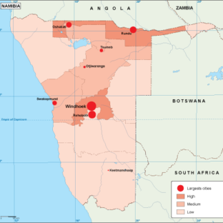
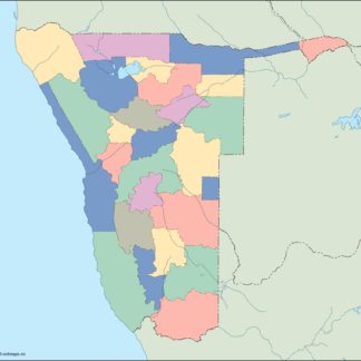
Namibia population eps map vector
60.00 € Select options -
Namibia EPS map vector
80.00 € Select options -
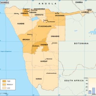
Namibia economic eps map vector
75.00 € Select options -
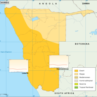
Namibia climate eps map vector
65.00 € Select options -
namibia illustrator eps map vector
29.00 € Select options -
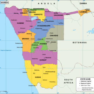
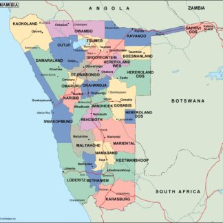
namibia political eps map vector
99.00 € Select options -
namibia blind eps map vector
35.00 € Select options -
namibia eps map vector
39.00 € Select options

Showing all 10 results