Sierra Leone Vector EPS maps
Our collection of digital maps in Adobe Illustrator EPS format includes maps of various countries, including Sierra Leone. These maps are highly detailed and accurate, making them ideal for a wide range of applications, from educational materials to business presentations.
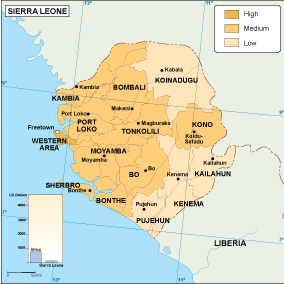
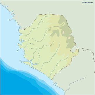
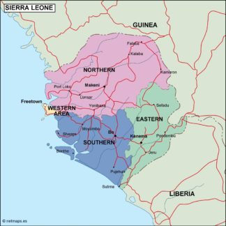
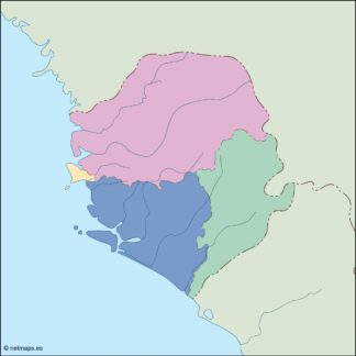
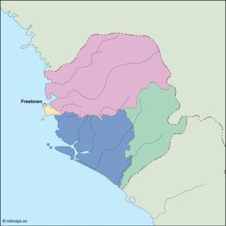
The Sierra Leone Vector EPS maps in our collection provide a comprehensive overview of the country’s geography, including its borders, major cities, and topographical features. These maps are designed to be easy to read and understand, with clear labeling and intuitive color-coding.
Sierra Leone is a country located in West Africa, bordered by Guinea to the north and east, Liberia to the southeast, and the Atlantic Ocean to the west. Its capital and largest city is Freetown, which is located on the western coast of the country.
Other important cities in Sierra Leone include Bo, Kenema, and Makeni. The country is known for its rich natural resources, including diamonds, gold, and iron ore, as well as its diverse wildlife and beautiful landscapes.
Whether you are a student, researcher, or business professional, our collection of digital maps in Adobe Illustrator EPS format is an invaluable resource for exploring and understanding the world around us.
Showing all 11 results
-

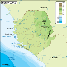
Sierra Leone physical eps map vector
50.00 € Select options -
Sierra Leone transportation eps map vector
55.00 € Select options -
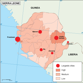
Sierra Leone population eps map vector
60.00 € Select options -
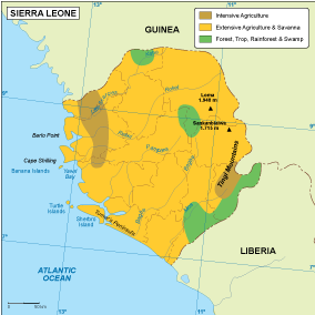
Sierra Leone vegetation eps map vector
70.00 € Select options -
Sierra Leone EPS map vector
80.00 € Select options -
Sierra Leone economic eps map vector
75.00 € Select options -
Sierra Leone climate eps map vector
65.00 € Select options -

sierra leone illustrator eps map vector
29.00 € Select options -
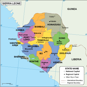
sierra leone political eps map vector
99.00 € Select options -
sierra leone blind eps map vector
35.00 € Select options -
sierra leone eps map vector
39.00 € Select options

Showing all 11 results