Ethiopia Vector EPS maps
Our collection of digital maps in Adobe Illustrator EPS format includes maps of Ethiopia. These maps are highly detailed and accurate, providing users with a comprehensive view of the country’s geography, topography, and infrastructure.
The Ethiopia Vector EPS maps feature all major cities, towns, and villages, as well as important landmarks and natural features such as rivers, lakes, and mountains. Users can easily zoom in and out of the maps to get a closer look at specific areas or to view the country as a whole.
In addition to providing a visual representation of Ethiopia’s physical features, our digital maps also include important information about the country’s political and economic situation. This includes details about the government, major industries, and key economic indicators such as GDP and population.
Whether you are a student, researcher, or business professional, our collection of digital maps in Adobe Illustrator EPS format is an invaluable resource for gaining a deeper understanding of Ethiopia and its place in the world.
Showing all 11 resultsSorted by latest
-

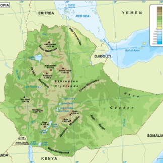
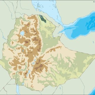
Ethiopia physical eps map vector
50.00 € Select options -
Ethiopia transportation eps map vector
55.00 € Select options -
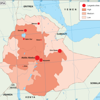
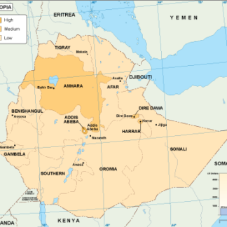
Ethiopia population eps map vector
60.00 € Select options -
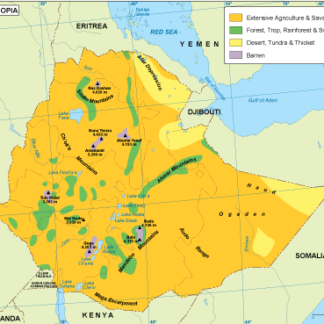
Ethiopia vegetation eps map vector
70.00 € Select options -
Ethiopia EPS map vector
80.00 € Select options -
Ethiopia economic eps map vector
75.00 € Select options -
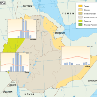
Ethiopia climate eps map vector
65.00 € Select options -
ethiopia illustrator eps map vector
29.00 € Select options -
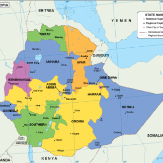
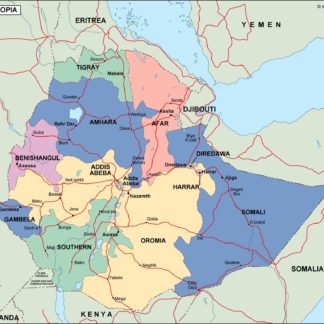
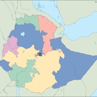
ethiopia political eps map vector
99.00 € Select options -
ethiopia blind eps map vector
35.00 € Select options -
ethiopia eps map vector
39.00 € Select options

Showing all 11 resultsSorted by latest