Belgium Vector EPS maps
Our collection of digital maps in Adobe Illustrator EPS format includes maps of Belgium. These maps are highly detailed and accurate, making them ideal for a wide range of applications, from educational materials to business presentations.
Our Belgium Vector EPS maps include all major cities and towns, as well as important landmarks and geographical features. These maps are designed to be easy to read and understand, with clear labeling and intuitive color-coding.
Whether you’re looking to explore the rich history and culture of Belgium, or you need accurate and up-to-date information for business purposes, our collection of digital maps in Adobe Illustrator EPS format is the perfect resource. So why wait? Start exploring Belgium today with our high-quality vector maps!
Showing 1–16 of 21 resultsSorted by latest
-

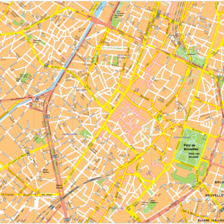
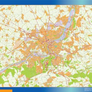
Bruselles Vector EPS map vector
280.00 € Select options -
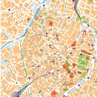
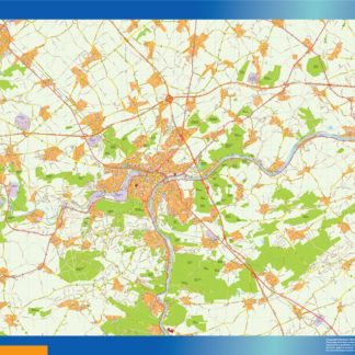
Brussels Illustrator eps map vector
160.00 € Select options -

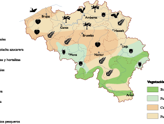
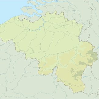
Belgium Agricultural eps map vector
70.00 € Select options -

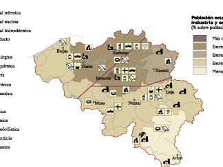
Belgium Economic eps map vector
75.00 € Select options -

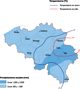
Belgium Climate eps map vector
65.00 € Select options -

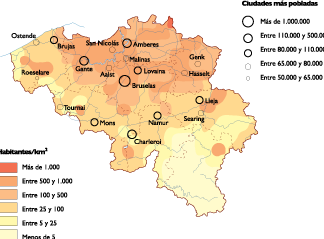
Belgium Population eps map vector
60.00 € Select options -
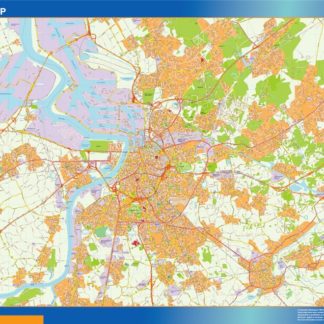
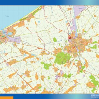
carte anvers eps illustrator
895.00 € Select options -
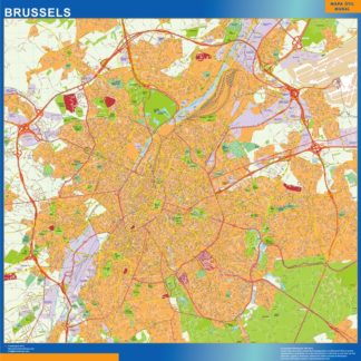
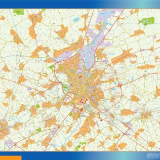
carte bruxelles eps illustrator
995.00 € Select options -
carte brugge eps illustrator
895.00 € Select options -
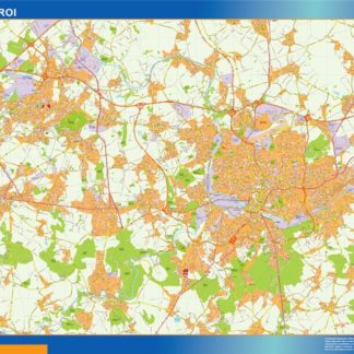
carte charleroi eps illustrator
895.00 € Select options -
carte gand eps illustrator
895.00 € Select options -
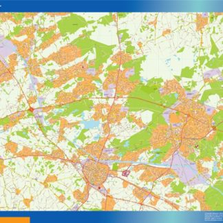
carte hasselt eps illustrator
895.00 € Select options -
carte liege eps illustrator
895.00 € Select options -
carte namur eps illustrator
895.00 € Select options -
belgium illustrator eps map vector
29.00 € Select options -
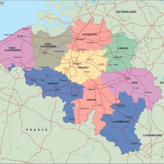
belgium political eps map vector
99.00 € Select options
Showing 1–16 of 21 resultsSorted by latest