Angola Vector EPS maps
Our collection of digital maps in Adobe Illustrator EPS format includes maps of Angola. These maps are highly detailed and accurate, providing users with a comprehensive view of the country’s geography, including its major cities and landmarks.
Angola is located in southwestern Africa, bordered by Namibia to the south, Zambia to the east, and the Democratic Republic of the Congo to the north. The country’s capital and largest city is Luanda, which is located on the Atlantic coast.
Our Angola Vector EPS maps include detailed information on the country’s major cities, including Luanda, Benguela, Huambo, and Lubango. These maps also highlight important landmarks and natural features, such as the Kalandula Falls and the Okavango River.
Whether you’re a student, researcher, or business professional, our collection of digital maps in Adobe Illustrator EPS format is an invaluable resource for gaining a deeper understanding of Angola’s geography and culture. With highly detailed and accurate information, these maps are perfect for a wide range of applications, from academic research to business planning and analysis.
Showing all 12 resultsSorted by latest
-

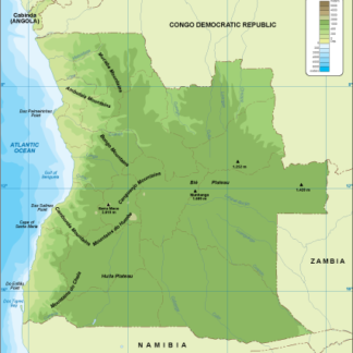
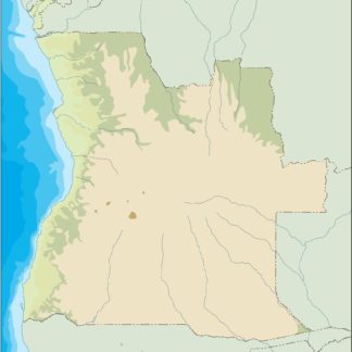
Angola physical eps map vector
50.00 € Select options -
Angola transportation eps map vector
55.00 € Select options -
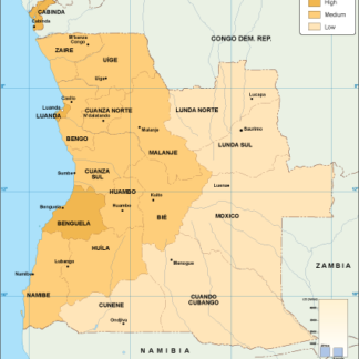
Angola population eps map vector
60.00 € Select options -
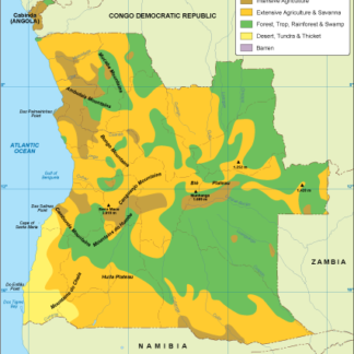
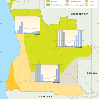
Angola vegetation eps map vector
70.00 € Select options -
Angola EPS map vector
80.00 € Select options -
Angola economic eps map vector
75.00 € Select options -
Angola climate eps map vector
65.00 € Select options -
angola illustrator eps map vector
29.00 € Select options -
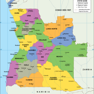
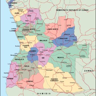
angola political eps map vector
99.00 € Select options -
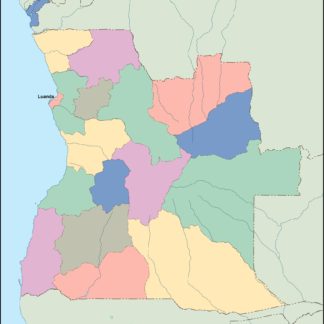
angola blind eps map vector
35.00 € Select options -
angola eps map vector
39.00 € Select options -
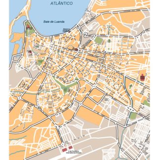
Luanda eps illustrator vector map
295.00 € Select options


Showing all 12 resultsSorted by latest