Madagascar Vector EPS maps
Our collection of digital maps in Adobe Illustrator EPS format includes a wide range of countries, including Madagascar. These maps are highly detailed and accurate, making them ideal for a variety of applications, from educational materials to business presentations.
The Madagascar Vector EPS maps in our collection feature all of the major cities and towns in the country, as well as important landmarks and geographical features. This includes the capital city of Antananarivo, as well as other major cities like Toamasina, Antsirabe, and Fianarantsoa.
In addition to cities and towns, our Madagascar maps also include important natural features like rivers, lakes, and mountains. This makes them ideal for use in environmental studies or for planning outdoor activities like hiking or camping.
Overall, our collection of digital maps in Adobe Illustrator EPS format is an invaluable resource for anyone who needs accurate and detailed maps of Madagascar or any other country. Whether you’re a student, a business professional, or a traveler, these maps will help you navigate and explore the world with confidence.
Showing all 11 results
-

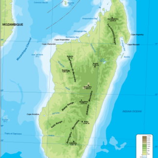
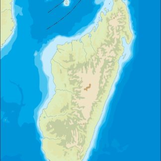
Madagascar physical eps map vector
50.00 € Select options -
Madagascar transportation eps map vector
55.00 € Select options -
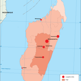
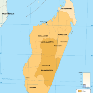
Madagascar population eps map vector
60.00 € Select options -
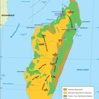
Madagascar vegetation eps map vector
70.00 € Select options -
Madagascar EPS map vector
80.00 € Select options -
Madagascar economic eps map vector
75.00 € Select options -
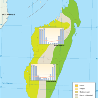
Madagascar climate eps map vector
65.00 € Select options -
madagascar illustrator eps map vector
29.00 € Select options -
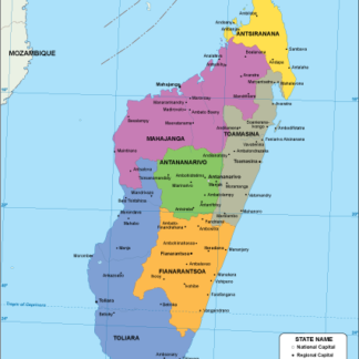
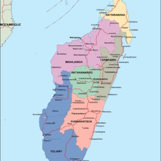
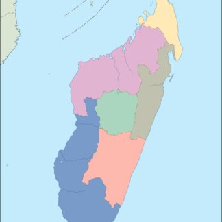
madagascar political eps map vector
99.00 € Select options -
madagascar blind eps map vector
35.00 € Select options -
madagascar eps map vector
39.00 € Select options

Showing all 11 results