Mauritius Vector EPS maps
Our collection of Mauritius Vector EPS maps is a comprehensive set of digital maps that are designed using Adobe Illustrator. These maps are highly detailed and accurate, providing users with a clear and concise representation of the geography and topography of Mauritius.
Each map in our collection includes important information about the country, such as the location of major cities, towns, and landmarks. Users can easily navigate through the maps to find specific locations and get a better understanding of the country’s layout and geography.
Our Mauritius Vector EPS maps are perfect for a wide range of applications, including educational materials, travel guides, and business presentations. They are also ideal for use in digital and print media, such as websites, brochures, and posters.
Whether you are a student, a traveler, or a business professional, our collection of Mauritius Vector EPS maps is an essential resource for anyone who needs accurate and detailed information about this beautiful country. So why wait? Start exploring Mauritius today with our high-quality digital maps!
Showing all 11 results
-

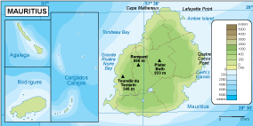
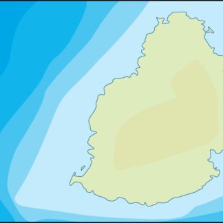
Mauritius physical eps map vector
50.00 € Select options -
Mauritius transportation eps map vector
55.00 € Select options -
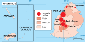
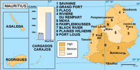
Mauritius population eps map vector
60.00 € Select options -
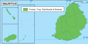
Mauritius vegetation eps map vector
70.00 € Select options -
Mauritius EPS map vector
80.00 € Select options -
Mauritius economic eps map vector
75.00 € Select options -
Mauritius climate eps map vector
65.00 € Select options -

mauritius illustrator eps map vector
29.00 € Select options -
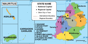
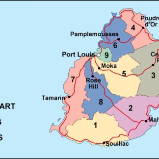
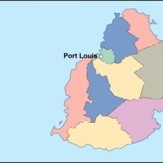
mauritius political eps map vector
99.00 € Select options -
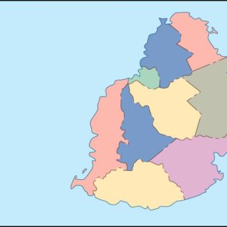
mauritius blind eps map vector
35.00 € Select options -
mauritius eps map vector
39.00 € Select options

Showing all 11 results