Sao Tome e Principe Vector EPS maps
Our collection of digital maps in Adobe Illustrator EPS format includes maps of various countries around the world, including Sao Tome e Principe. These maps are highly detailed and accurate, making them ideal for a wide range of applications, from educational materials to business presentations.
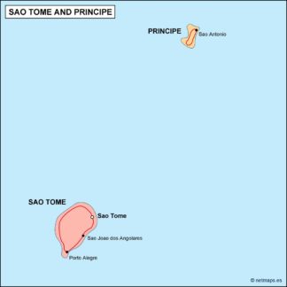
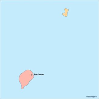
The Sao Tome e Principe Vector EPS maps in our collection provide a comprehensive view of this small island nation located off the coast of West Africa. These maps include detailed information about the country’s geography, including its coastline, rivers, and mountains. They also highlight important cities and towns, such as Sao Tome, the capital city, and Principe, the second-largest city on the island.
Our Sao Tome e Principe Vector EPS maps are designed to be easy to use and highly customizable. They can be easily edited using Adobe Illustrator, allowing you to add your own text, graphics, and other elements to create a map that meets your specific needs. Whether you’re creating a travel brochure, a business presentation, or an educational resource, our collection of digital maps in Adobe Illustrator EPS format is the perfect choice.
Showing all 11 resultsSorted by latest
-

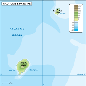
Sao Tome e Principe physical eps map vector
50.00 € Select options -
Sao Tome e Principe transportation eps map vector
55.00 € Select options -
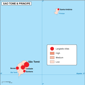
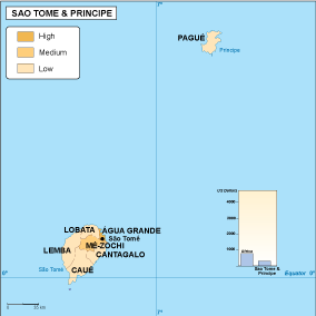
Sao Tome e Principe population eps map vector
60.00 € Select options -
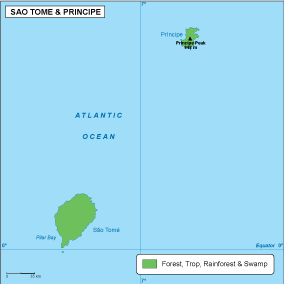
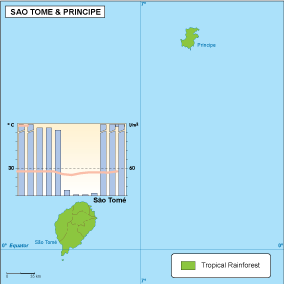
Sao Tome e Principe vegetation eps map vector
70.00 € Select options -
Sao Tome e Principe EPS map vector
80.00 € Select options -
Sao Tome e Principe economic eps map vector
75.00 € Select options -
Sao Tome e Principe climate eps map vector
65.00 € Select options -

sao tome e principe illustrator eps map vector
29.00 € Select options -
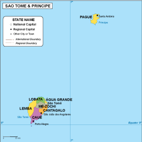
sao tome e principe political eps map vector
99.00 € Select options -
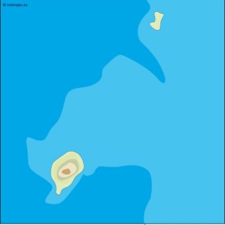
sao tome e principe blind eps map vector
35.00 € Select options -
sao tome e principe eps map vector
39.00 € Select options
Showing all 11 resultsSorted by latest