Benin Vector EPS maps
Our collection of digital maps in Adobe Illustrator EPS format includes maps of various countries, including Benin. These maps are highly detailed and accurate, making them ideal for use in a variety of applications, from educational materials to business presentations.
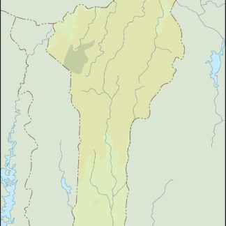
The Benin Vector EPS maps in our collection provide a wealth of information about this West African country. They show the location of major cities, such as Cotonou, Porto-Novo, and Parakou, as well as important landmarks and natural features, such as rivers, lakes, and mountains.
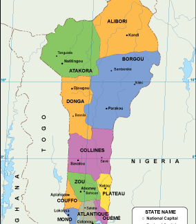
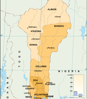
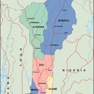
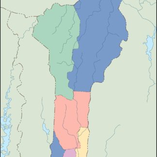
In addition to providing a visual representation of the country’s geography, our Benin Vector EPS maps also include important information about the country’s political and administrative divisions. This includes the location of Benin’s 12 departments, as well as the boundaries of each department.
Whether you’re a student, a business professional, or a traveler, our collection of digital maps in Adobe Illustrator EPS format is an invaluable resource for gaining a deeper understanding of the world around us. So why not explore our collection today and discover all that it has to offer?
Showing all 11 resultsSorted by latest
-

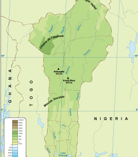
Benin physical eps map vector
50.00 € Select options -
Benin transportation eps map vector
55.00 € Select options -
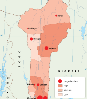
Benin population eps map vector
60.00 € Select options -
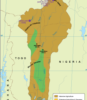
Benin vegetation eps map vector
70.00 € Select options -
Benin EPS map vector
80.00 € Select options -
Benin economic eps map vector
75.00 € Select options -
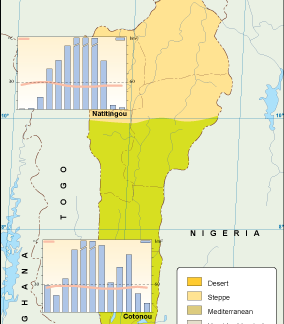
Benin climate eps map vector
65.00 € Select options -

benin illustrator eps map vector
29.00 € Select options -
benin political eps map vector
99.00 € Select options -
benin blind eps map vector
35.00 € Select options -
benin eps map vector
39.00 € Select options

Showing all 11 resultsSorted by latest