Uganda Vector EPS maps
Our collection of digital maps in Adobe Illustrator EPS format includes maps of Uganda. These maps are highly detailed and accurate, providing users with a comprehensive view of the country’s geography, topography, and infrastructure.
The Uganda Vector EPS maps feature all major cities and towns, as well as important landmarks and natural features such as lakes, rivers, and mountains. Users can easily zoom in and out of the maps to get a closer look at specific areas or to view the country as a whole.
In addition to providing a visual representation of Uganda’s physical features, our digital maps also include important information about the country’s political and administrative divisions. This includes the location of provinces, districts, and major cities, as well as the borders of neighboring countries.
Whether you are a researcher, student, or business professional, our collection of digital maps in Adobe Illustrator EPS format is an invaluable resource for gaining a deeper understanding of Uganda’s geography, culture, and history. With high-quality graphics and detailed information, these maps are the perfect tool for exploring and analyzing this fascinating country.
Showing all 11 resultsSorted by latest
-

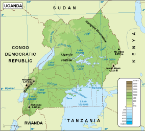
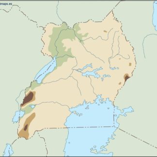
Uganda physical eps map vector
50.00 € Select options -
Uganda transportation eps map vector
55.00 € Select options -
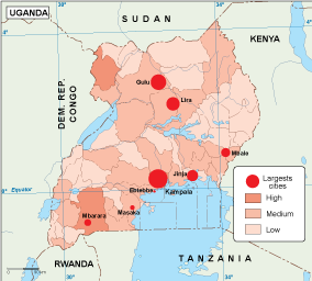
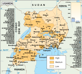
Uganda population eps map vector
60.00 € Select options -
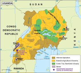
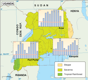
Uganda vegetation eps map vector
70.00 € Select options -
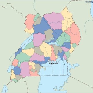
Uganda EPS map vector
80.00 € Select options -
Uganda economic eps map vector
75.00 € Select options -
Uganda climate eps map vector
65.00 € Select options -

uganda illustrator eps map vector
29.00 € Select options -
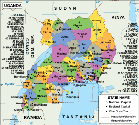
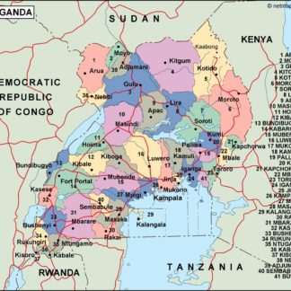
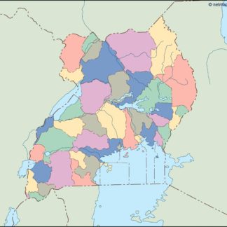
uganda political eps map vector
99.00 € Select options -
uganda blind eps map vector
35.00 € Select options -
uganda eps map vector
39.00 € Select options
Showing all 11 resultsSorted by latest