Bolivia Vector EPS maps
EPSmaps.com offers a wide range of digital map collections for businesses in Adobe Illustrator EPS format. Our maps are designed to provide accurate and detailed information about different countries and regions around the world. One of our popular collections is the Bolivia Vector EPS maps.
Our Bolivia Vector EPS maps are created using the latest technology and are designed to provide businesses with accurate and up-to-date information about the country. These maps are perfect for businesses that need to plan their operations in Bolivia or for those who want to explore the country’s geography and topography.
Our Bolivia Vector EPS maps include detailed information about the country’s major cities, towns, and landmarks. These maps also provide information about the country’s transportation network, including major highways, airports, and railways. This information is essential for businesses that need to plan their logistics and transportation operations in Bolivia.
In addition to providing detailed information about Bolivia’s geography and topography, our Vector EPS maps also include information about the country’s political and economic situation. This information is essential for businesses that need to understand the country’s business environment and regulatory framework.
Overall, our Bolivia Vector EPS maps are an essential tool for businesses that need to operate in Bolivia or for those who want to explore the country’s geography and topography. With accurate and up-to-date information, our maps can help businesses plan their operations and make informed decisions about their business activities in Bolivia.
Showing all 4 results
-

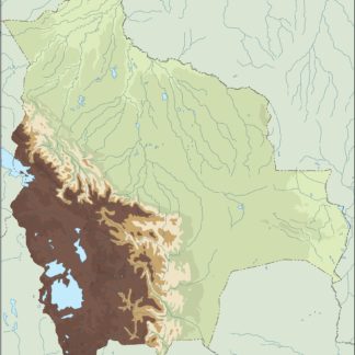
bolivia illustrator eps map vector
29.00 € Select options -
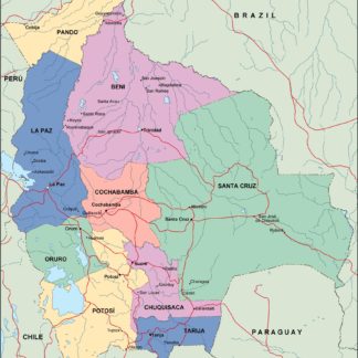
bolivia political eps map vector
99.00 € Select options -
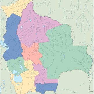
bolivia blind eps map vector
35.00 € Select options -
bolivia eps map vector
39.00 € Select options

Showing all 4 results