Mauritania Vector EPS maps
Mauritania Vector EPS maps are a collection of digital maps created using Adobe Illustrator software. These maps are designed to provide accurate and detailed information about the geography, topography, and political boundaries of Mauritania.
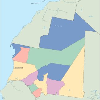
The maps include information about the location of major cities, towns, and villages, as well as important landmarks and natural features such as rivers, mountains, and deserts. They also provide information about the country’s political divisions, including its regions, departments, and communes.
Mauritania Vector EPS maps are an essential tool for anyone who needs to navigate the country, whether for business or pleasure. They are particularly useful for travelers, researchers, and students who need to study the country’s geography and political structure.
Overall, Mauritania Vector EPS maps are an invaluable resource for anyone who needs accurate and up-to-date information about this fascinating country. Whether you are planning a trip to Mauritania or simply want to learn more about its geography and culture, these maps are an essential tool that you cannot afford to be without.
Showing all 11 results
-

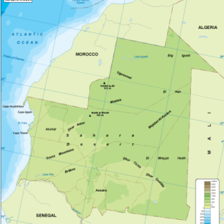
Mauritania physical eps map vector
50.00 € Select options -
Mauritania transportation eps map vector
55.00 € Select options -
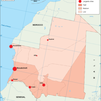
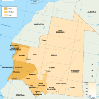
Mauritania population eps map vector
60.00 € Select options -
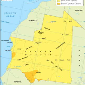
Mauritania vegetation eps map vector
70.00 € Select options -
Mauritania EPS map vector
80.00 € Select options -
Mauritania economic eps map vector
75.00 € Select options -
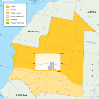
Mauritania climate eps map vector
65.00 € Select options -
mauritania illustrator eps map vector
29.00 € Select options -
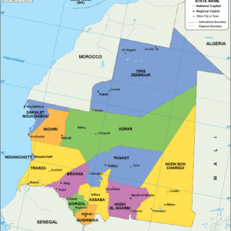
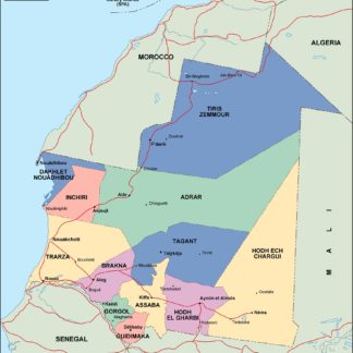
mauritania political eps map vector
99.00 € Select options -
mauritania blind eps map vector
35.00 € Select options -
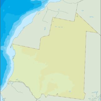
mauritania eps map vector
39.00 € Select options

Showing all 11 results