Mali Vector EPS maps
Our collection of digital maps in Adobe Illustrator EPS format includes maps of various countries, including Mali. These maps are highly detailed and accurate, making them ideal for a wide range of applications, from educational materials to business presentations.
The Mali Vector EPS maps in our collection provide a comprehensive overview of the country’s geography, including its borders, major cities, and important landmarks. These maps are designed to be easy to read and understand, with clear labeling and intuitive symbols.
Whether you’re a student studying the geography of Mali, a business professional preparing a presentation on the country’s economic landscape, or a traveler planning a trip to Mali, our collection of digital maps in Adobe Illustrator EPS format is an invaluable resource. With high-quality maps that are both informative and visually appealing, you can easily communicate complex information and make informed decisions.
Showing all 11 results
-

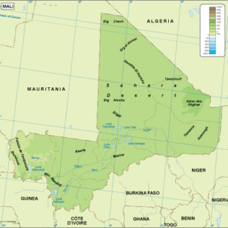
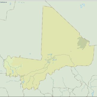
Mali physical eps map vector
50.00 € Select options -
Mali transportation eps map vector
55.00 € Select options -
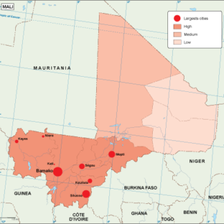
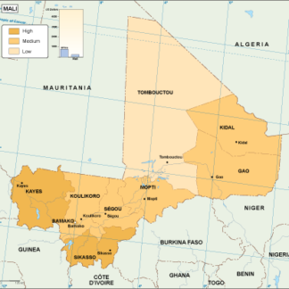
Mali population eps map vector
60.00 € Select options -
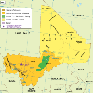
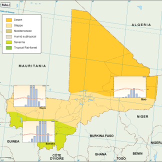
Mali vegetation eps map vector
70.00 € Select options -
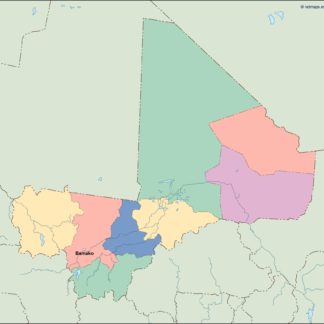
Mali EPS map vector
80.00 € Select options -
Mali economic eps map vector
75.00 € Select options -
Mali climate eps map vector
65.00 € Select options -
mali illustrator eps map vector
29.00 € Select options -
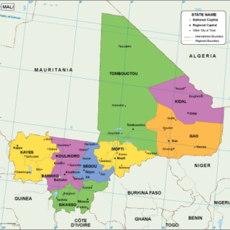
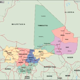
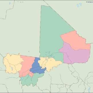
mali political eps map vector
99.00 € Select options -
mali blind eps map vector
35.00 € Select options -
mali eps map vector
39.00 € Select options
Showing all 11 results