Sudan Vector EPS maps
Our collection of Sudan Vector EPS maps is a comprehensive set of digital maps created using Adobe Illustrator. These maps are designed to provide accurate and detailed information about the geography, topography, and political boundaries of Sudan.
Each map in our collection includes a range of features, such as major cities, towns, rivers, lakes, and other important landmarks. These features are clearly labeled and color-coded to make it easy to identify different regions and areas of interest.
Our Sudan Vector EPS maps are ideal for a wide range of applications, including educational materials, travel guides, and business presentations. They are also perfect for use in digital and print media, such as websites, brochures, and posters.
Whether you are looking to explore the rich history and culture of Sudan or simply need accurate and up-to-date information about the country’s geography and political boundaries, our collection of Sudan Vector EPS maps is the perfect resource. So why wait? Start exploring today and discover all that Sudan has to offer!
Showing all 11 results
-

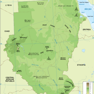
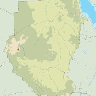
Sudan physical eps map vector
50.00 € Select options -
Sudan transportation eps map vector
55.00 € Select options -
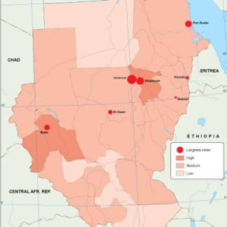
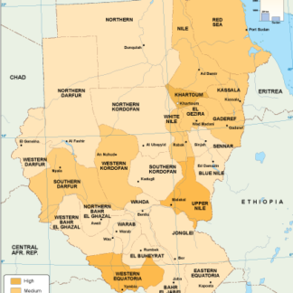
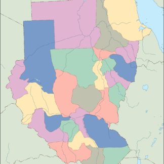
Sudan population eps map vector
60.00 € Select options -
Sudan vegetation eps map vector
70.00 € Select options -
Sudan EPS map vector
80.00 € Select options -
Sudan economic eps map vector
75.00 € Select options -
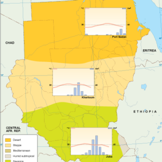
Sudan climate eps map vector
65.00 € Select options -
sudan illustrator eps map vector
29.00 € Select options -
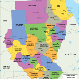
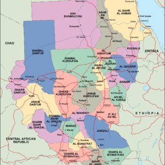
sudan political eps map vector
99.00 € Select options -
sudan blind eps map vector
35.00 € Select options -
sudan eps map vector
39.00 € Select options


Showing all 11 results