Uruguay Vector EPS maps
EPSmaps.com offers a wide range of digital map collections for businesses in Adobe Illustrator EPS format. Our maps are designed to provide accurate and detailed information about different countries and regions around the world. One of our popular collections is the Uruguay Vector EPS maps.
Our Uruguay Vector EPS maps are created using the latest technology and are designed to provide businesses with accurate and up-to-date information about the country. The maps are available in high resolution and can be easily customized to meet the specific needs of your business.
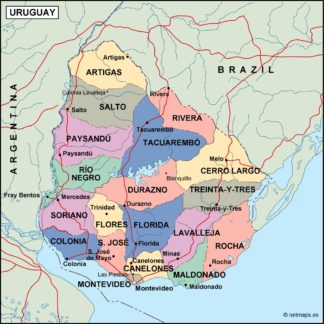
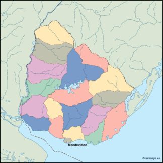
Our Uruguay Vector EPS maps include detailed information about the country’s geography, including its borders, major cities, and important landmarks. This information can be used to create custom maps that are tailored to your business needs.
Some of the important cities in Uruguay that are included in our maps are Montevideo, Salto, and Ciudad de la Costa. These cities are important economic and cultural centers in the country and are home to many businesses and organizations.
Our Uruguay Vector EPS maps also provide information about the country’s location and neighboring countries. Uruguay is located in South America and is bordered by Brazil to the north and Argentina to the west.
Overall, our Uruguay Vector EPS maps are an essential tool for businesses that operate in or are interested in the country. They provide accurate and detailed information that can be used to make informed decisions and create custom maps that meet the specific needs of your business.
Showing all 6 results
-

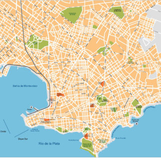
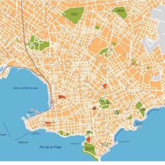
Montevideo Illustrator eps map vector
160.00 € Select options -
uruguay illustrator eps map vector
29.00 € Select options -
uruguay political eps map vector
99.00 € Select options -
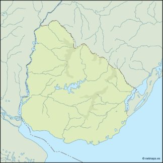
uruguay blind eps map vector
35.00 € Select options -
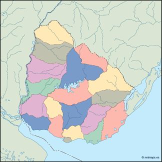
uruguay eps map vector
39.00 € Select options -
Montevideo eps illustrator vector map
140.00 € Select options
Showing all 6 results