Sweden Vector EPS maps
Our collection of Sweden Vector EPS maps is a comprehensive set of digital maps created using Adobe Illustrator. These maps are designed to provide accurate and detailed information about the geography, cities, and important landmarks of Sweden.
Each map in our collection is created with precision and attention to detail, ensuring that users can easily navigate and explore the country. The maps are available in a range of scales, from large-scale maps that show the entire country to smaller-scale maps that focus on specific regions or cities.
Our Sweden Vector EPS maps include information about the country’s major cities, such as Stockholm, Gothenburg, and Malmö. These maps also highlight important landmarks and attractions, such as the Vasa Museum, the Royal Palace, and the Göta Canal.
In addition to providing information about Sweden’s cities and landmarks, our maps also show the country’s natural features, including its lakes, rivers, and mountains. This information is useful for anyone planning a trip to Sweden, as it can help them plan their itinerary and explore the country’s natural beauty.
Overall, our collection of Sweden Vector EPS maps is an essential resource for anyone interested in exploring this beautiful country. Whether you’re a tourist, a student, or a business traveler, these maps will provide you with the information you need to navigate Sweden with ease and confidence.
Showing 1–16 of 22 resultsSorted by latest
-

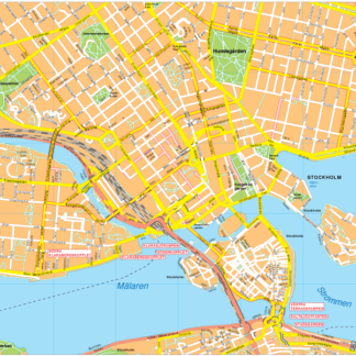
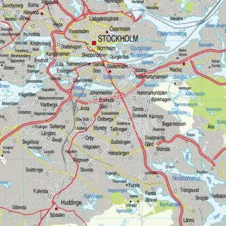
Stockholm Vector EPS map vector
280.00 € Select options -
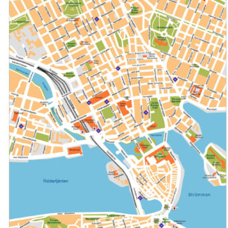
Stockholm Illustrator eps map vector
160.00 € Select options -
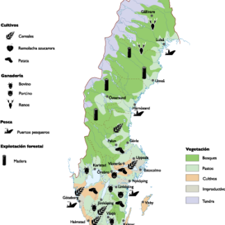
Sweden Agricultural eps map vector
70.00 € Select options -
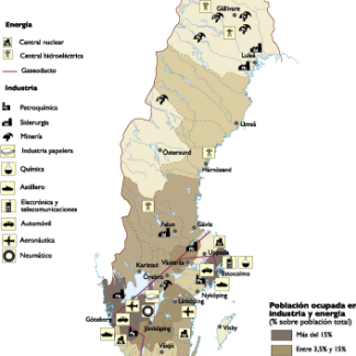
Sweden Economic eps map vector
75.00 € Select options -
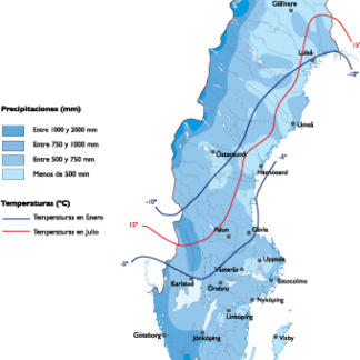
Sweden Climate eps map vector
65.00 € Select options -

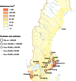
Sweden Population eps map vector
60.00 € Select options -
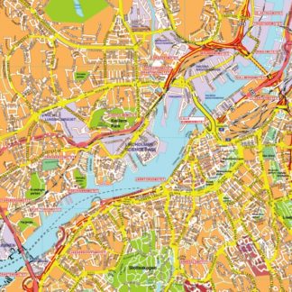
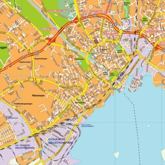
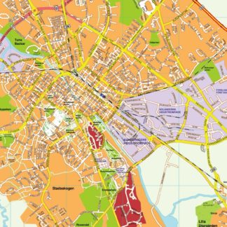
karta eps illustrator goteborg
895.00 € Select options -
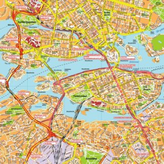
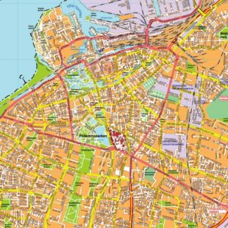
karta eps illustrator stockholm
795.00 € Select options -
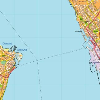
karta eps illustrator storstockholm
1,195.00 € Select options -
karta eps illustrator vasteras
895.00 € Select options -
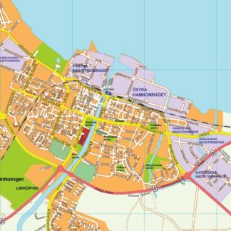
karta eps illustrator lidkoping
895.00 € Select options -
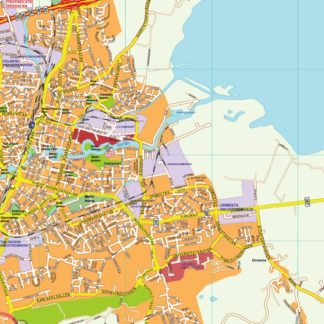
karta eps illustrator malmo
895.00 € Select options -
karta eps illustrator orebro
795.00 € Select options -
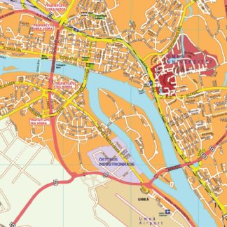
karta eps illustrator umea
895.00 € Select options -
karta eps illustrator uppsala
895.00 € Select options -
karta eps illustrator helsinborg
895.00 € Select options
Showing 1–16 of 22 resultsSorted by latest