Burkina Faso Vector EPS maps
Our collection of digital maps in Adobe Illustrator EPS format includes maps of Burkina Faso. These maps are highly detailed and accurate, providing users with a comprehensive view of the country’s geography, topography, and political boundaries.
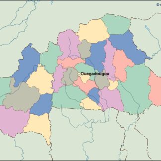
Burkina Faso is a landlocked country located in West Africa, bordered by Mali to the north and west, Niger to the east, Benin to the southeast, Togo to the south, and Ghana to the southwest. The country’s capital and largest city is Ouagadougou, which is located in the central part of the country.
Our Burkina Faso vector EPS maps include detailed information about the country’s major cities, towns, and villages, as well as its rivers, lakes, and other natural features. Users can easily zoom in and out of the maps to get a closer look at specific areas of interest, and can also customize the maps to suit their needs.
Whether you’re a student, researcher, or business professional, our collection of digital maps in Adobe Illustrator EPS format is an invaluable resource for anyone looking to explore Burkina Faso in greater detail. So why wait? Start exploring today and discover all that this fascinating country has to offer!
Showing all 11 results
-

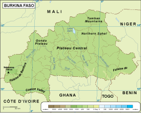
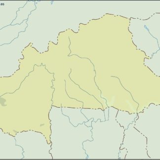
Burkina Faso physical eps map vector
50.00 € Select options -

Burkina Faso transportation eps map vector
55.00 € Select options -

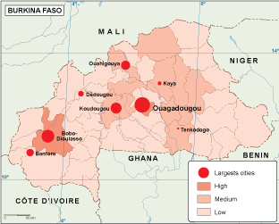
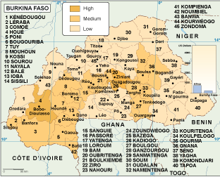
Burkina Faso population eps map vector
60.00 € Select options -
Burkina Faso vegetation eps map vector
70.00 € Select options -

Burkina Faso EPS map vector
80.00 € Select options -
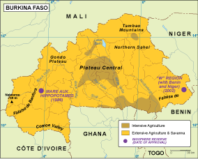
Burkina Faso economic eps map vector
75.00 € Select options -
Burkina Faso climate eps map vector
65.00 € Select options -

burkina faso illustrator eps map vector
29.00 € Select options -
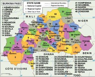
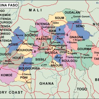
burkina faso political eps map vector
99.00 € Select options -
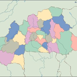
burkina faso blind eps map vector
35.00 € Select options -
burkina faso eps map vector
39.00 € Select options

Showing all 11 results