Tonga Vector EPS maps
Welcome to epsmaps.com, your go-to source for high-quality digital maps in Adobe Illustrator EPS format. Our collection includes maps for various countries, including Tonga.
Our Tonga Vector EPS maps are designed to provide businesses with accurate and detailed information about the country’s geography, cities, and landmarks. These maps are perfect for companies that need to create marketing materials, presentations, or reports that require a visual representation of Tonga.
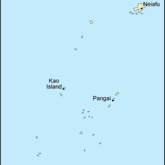
Tonga is a Polynesian kingdom located in the South Pacific Ocean. It consists of 169 islands, of which only 36 are inhabited. The country’s capital and largest city is Nuku’alofa, located on the island of Tongatapu. Other important cities include Neiafu on the island of Vava’u and Pangai on the island of Lifuka.
Our Tonga Vector EPS maps include detailed information about the country’s geography, including its islands, reefs, and lagoons. They also feature important cities, towns, and villages, as well as major roads, highways, and airports. With our maps, you can easily navigate Tonga and locate important landmarks and attractions.
Whether you’re a business owner, marketer, or researcher, our Tonga Vector EPS maps are an essential tool for understanding the country’s geography and demographics. They are easy to use and can be customized to fit your specific needs. So why wait? Visit epsmaps.com today and start exploring Tonga like never before!
Showing all 4 results
-

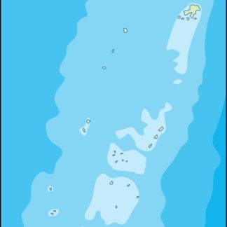
tonga illustrator eps map vector
29.00 € Select options -
tonga political eps map vector
99.00 € Select options -
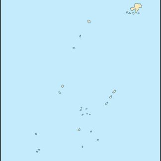
tonga blind eps map vector
35.00 € Select options -
tonga eps map vector
39.00 € Select options

Showing all 4 results