Guinea Bissau Vector EPS maps
Our collection of digital maps in Adobe Illustrator EPS format includes maps of Guinea Bissau. These maps are highly detailed and accurate, providing users with a comprehensive view of the country’s geography, topography, and political boundaries.
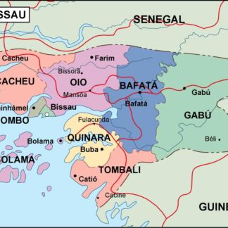
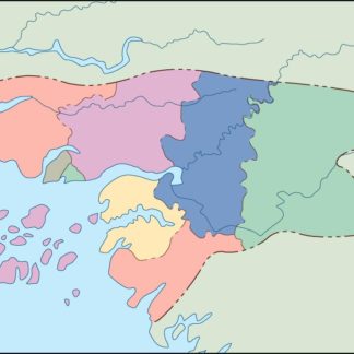
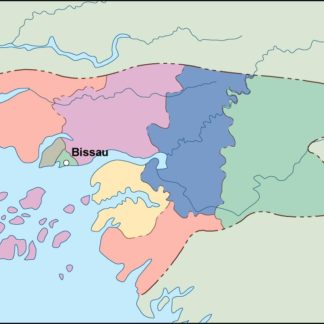
Guinea Bissau is a small country located in West Africa, bordered by Senegal to the north and Guinea to the south and east. The country has a diverse landscape, with coastal plains, savannas, and forests. The capital city is Bissau, which is located on the coast and is the largest city in the country.
Our Guinea Bissau vector EPS maps include detailed information about the country’s major cities, towns, and villages, as well as its road networks, rivers, and other important features. These maps are ideal for use in a variety of applications, including educational materials, travel guides, and business presentations.
Whether you are a student, a traveler, or a business professional, our collection of digital maps in Adobe Illustrator EPS format is an essential resource for anyone interested in exploring the geography and culture of Guinea Bissau. So why wait? Start exploring today!
Showing all 11 results
-

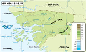
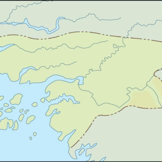
Guinea Bissau physical eps map vector
50.00 € Select options -
Guinea Bissau transportation eps map vector
55.00 € Select options -
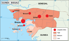
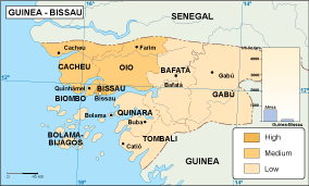
Guinea Bissau population eps map vector
60.00 € Select options -
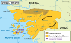
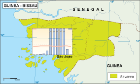
Guinea Bissau vegetation eps map vector
70.00 € Select options -
Guinea Bissau EPS map vector
80.00 € Select options -
Guinea Bissau economic eps map vector
75.00 € Select options -
Guinea Bissau climate eps map vector
65.00 € Select options -

guinea bissau illustrator eps map vector
29.00 € Select options -
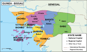
guinea bissau political eps map vector
99.00 € Select options -
guinea bissau blind eps map vector
35.00 € Select options -
guinea bissau eps map vector
39.00 € Select options
Showing all 11 results