Guinea Vector EPS maps
Our collection of digital maps in Adobe Illustrator EPS format includes maps of Guinea. These maps are highly detailed and accurate, providing users with a comprehensive view of the country’s geography, including its cities, towns, and important landmarks.
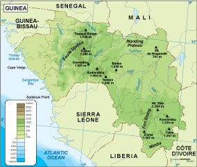
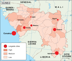
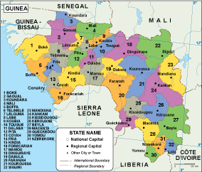
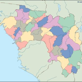
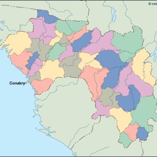
Guinea is located in West Africa and is bordered by Sierra Leone, Liberia, Cote d’Ivoire, Mali, Senegal, and Guinea-Bissau. The country’s capital and largest city is Conakry, which is located on the coast and is home to over 2 million people.
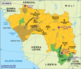
Other important cities in Guinea include Kankan, Nzerekore, and Kindia. The country is known for its rich natural resources, including bauxite, iron ore, gold, and diamonds. It is also home to several national parks and reserves, including the Mount Nimba Strict Nature Reserve and the Badiar National Park.
Our Guinea vector EPS maps are perfect for a variety of uses, including educational materials, business presentations, and travel guides. They are easy to use and can be customized to meet your specific needs. Whether you are planning a trip to Guinea or simply want to learn more about this fascinating country, our digital maps are an excellent resource.
Showing all 11 resultsSorted by latest
-

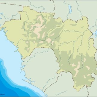
Guinea physical eps map vector
50.00 € Select options -
Guinea transportation eps map vector
55.00 € Select options -
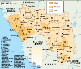
Guinea population eps map vector
60.00 € Select options -
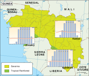
Guinea vegetation eps map vector
70.00 € Select options -
Guinea EPS map vector
80.00 € Select options -
Guinea economic eps map vector
75.00 € Select options -
Guinea climate eps map vector
65.00 € Select options -

guinea illustrator eps map vector
29.00 € Select options -
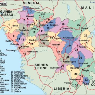
guinea political eps map vector
99.00 € Select options -
guinea blind eps map vector
35.00 € Select options -
guinea eps map vector
39.00 € Select options
Showing all 11 resultsSorted by latest