Senegal Vector EPS maps
Our collection of digital maps in Adobe Illustrator EPS format includes maps of various countries, including Senegal. These maps are highly detailed and accurate, making them ideal for a wide range of applications, from educational materials to business presentations.
The Senegal Vector EPS maps in our collection provide a comprehensive overview of the country’s geography, including its borders, major cities, and important landmarks. These maps are designed to be easy to read and understand, with clear labeling and intuitive symbols.
In addition to providing a visual representation of Senegal’s geography, our maps also include important information about the country’s history, culture, and economy. This information can be used to enhance presentations or educational materials, providing a deeper understanding of the country and its people.
Whether you are a student, teacher, or business professional, our collection of digital maps in Adobe Illustrator EPS format is an invaluable resource. With accurate and detailed maps of Senegal and other countries around the world, you can easily create engaging and informative materials that will captivate your audience and enhance your message.
Showing all 11 results
-

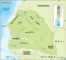
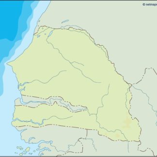
Senegal physical eps map vector
50.00 € Select options -

Senegal transportation eps map vector
55.00 € Select options -
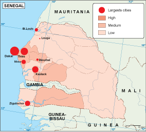
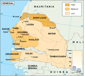
Senegal population eps map vector
60.00 € Select options -
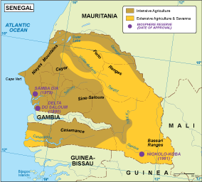
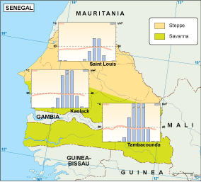
Senegal vegetation eps map vector
70.00 € Select options -
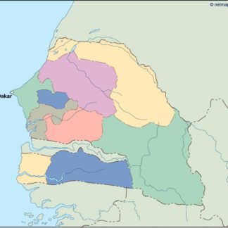
Senegal EPS map vector
80.00 € Select options -

Senegal economic eps map vector
75.00 € Select options -
Senegal climate eps map vector
65.00 € Select options -

senegal illustrator eps map vector
29.00 € Select options -
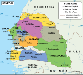
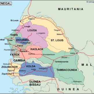
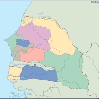
senegal political eps map vector
99.00 € Select options -
senegal blind eps map vector
35.00 € Select options -
senegal eps map vector
39.00 € Select options
Showing all 11 results