Seychelles Vector EPS maps
Seychelles Vector EPS maps are a collection of digital maps created using Adobe Illustrator software. These maps are designed to provide accurate and detailed information about the geography, topography, and landmarks of Seychelles, a group of islands located in the Indian Ocean.
The Seychelles Vector EPS maps include a range of features such as roads, rivers, lakes, mountains, and other natural and man-made landmarks. These maps are designed to be highly detailed and accurate, providing users with a comprehensive view of the country’s geography and topography.
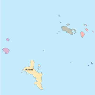
In addition to providing information about the country’s physical features, the Seychelles Vector EPS maps also include important information about the country’s cities and towns. This includes the location of major cities such as Victoria, the capital of Seychelles, as well as other important towns and villages.
Overall, the Seychelles Vector EPS maps are an essential tool for anyone looking to explore or study the geography and topography of Seychelles. Whether you are a student, researcher, or traveler, these maps provide a wealth of information about this beautiful and unique country.
Showing all 11 results
-

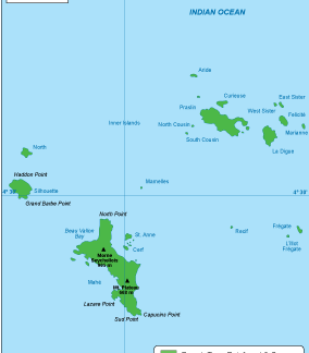
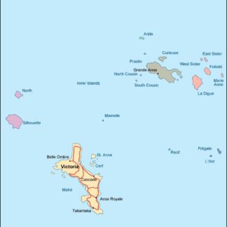
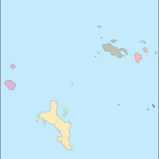
Seychelles physical eps map vector
50.00 € Select options -
Seychelles transportation eps map vector
55.00 € Select options -
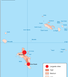
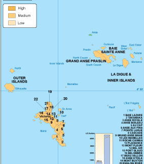
Seychelles population eps map vector
60.00 € Select options -
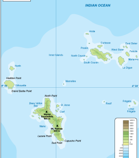
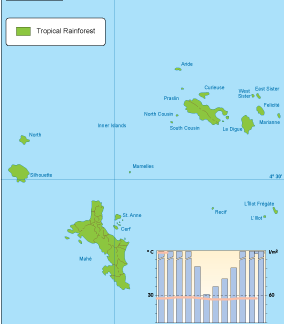
Seychelles vegetation eps map vector
70.00 € Select options -
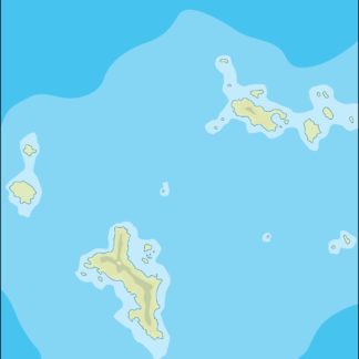
Seychelles EPS map vector
80.00 € Select options -
Seychelles economic eps map vector
75.00 € Select options -
Seychelles climate eps map vector
65.00 € Select options -

seychelles illustrator eps map vector
29.00 € Select options -
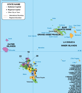
seychelles political eps map vector
99.00 € Select options -
seychelles blind eps map vector
35.00 € Select options -
seychelles eps map vector
39.00 € Select options
Showing all 11 results