Comoros Vector EPS maps
Comoros Vector EPS maps are a collection of digital maps created using Adobe Illustrator software. These maps are designed to provide accurate and detailed information about the geography, topography, and landmarks of the Comoros Islands.
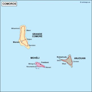
The Comoros Islands are located in the Indian Ocean, off the coast of East Africa. The archipelago consists of four main islands: Grande Comore, Mohéli, Anjouan, and Mayotte. Each island has its own unique features and landmarks, such as Mount Karthala on Grande Comore, the Mohéli Marine Park on Mohéli, and the Anjouan Forest Reserve on Anjouan.
The Comoros Vector EPS maps provide detailed information about the location of these landmarks, as well as the major cities and towns on each island. The maps also include information about the transportation infrastructure, such as airports and major roads, making it easy for travelers to navigate the islands.
Overall, the Comoros Vector EPS maps are an essential tool for anyone planning to visit or do business in the Comoros Islands. They provide accurate and up-to-date information about the geography and landmarks of the islands, making it easy to plan a trip or conduct research.
Showing all 9 resultsSorted by latest
-

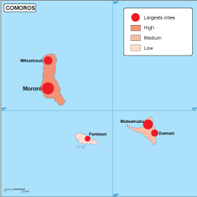
Comoros population eps map vector
60.00 € Select options -
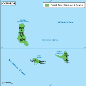
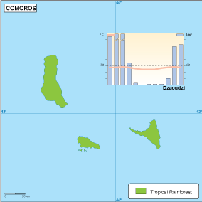
Comoros vegetation eps map vector
70.00 € Select options -
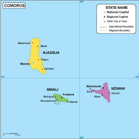
Comoros EPS map vector
80.00 € Select options -
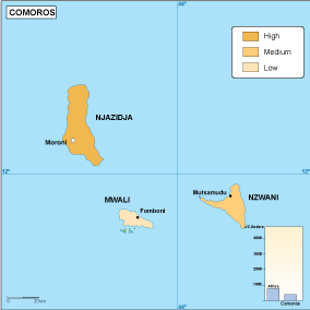
Comoros economic eps map vector
75.00 € Select options -
Comoros climate eps map vector
65.00 € Select options -

comoros illustrator eps map vector
29.00 € Select options -
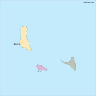
comoros political eps map vector
99.00 € Select options -
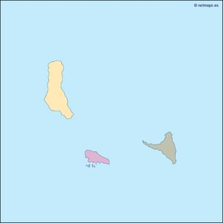
comoros blind eps map vector
35.00 € Select options -
comoros eps map vector
39.00 € Select options

Showing all 9 resultsSorted by latest