Ukraine Vector EPS maps
Our collection of Ukraine Vector EPS maps is a comprehensive set of digital maps created using Adobe Illustrator. These maps are designed to provide accurate and detailed information about the geography, cities, and regions of Ukraine.
Each map in our collection is created using high-quality vector graphics, which means that they can be scaled to any size without losing resolution. This makes them ideal for use in a wide range of applications, from print materials to digital media.
Our Ukraine Vector EPS maps include detailed information about the country’s major cities, including Kiev, Lviv, and Odessa. They also feature information about important landmarks, such as the Carpathian Mountains and the Black Sea.
Whether you’re a business looking to expand into Ukraine, a student studying the country’s geography, or a traveler planning a trip, our collection of Ukraine Vector EPS maps is an essential resource. With accurate and up-to-date information, these maps will help you navigate the country with ease and confidence.
Showing 1–16 of 18 resultsSorted by latest
-

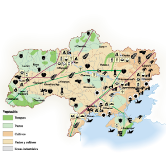
Ukraine Economic eps map vector
75.00 € Select options -
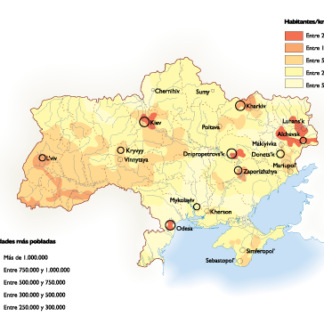
Ukraine Population eps map vector
60.00 € Select options -
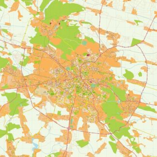
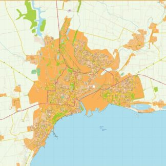
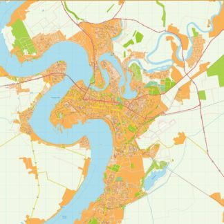
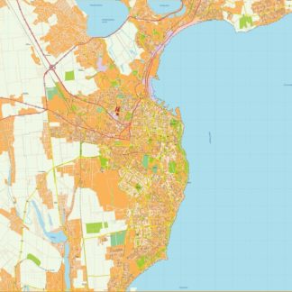
Zaporijia Illustrator eps map vector
695.00 € Select options -
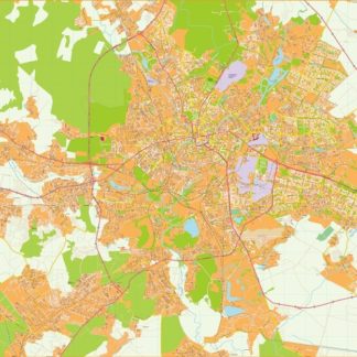
Dnipropetrovsk Illustrator eps map vector
795.00 € Select options -
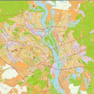
Donetsk Illustrator eps map vector
895.00 € Select options -
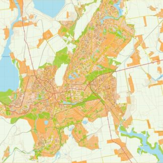
Jarkov Illustrator eps map vector
795.00 € Select options -
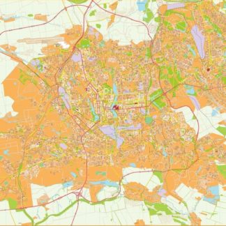
Kiev Illustrator eps map vector
895.00 € Select options -
Krivoy rog Illustrator eps map vector
695.00 € Select options -
Leopoli Illustrator eps map vector
695.00 € Select options -
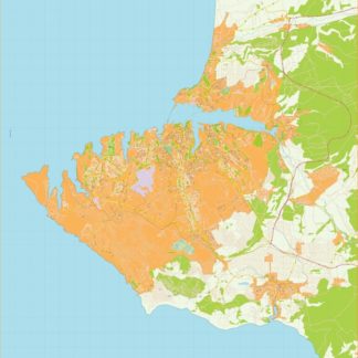
Mariupol Illustrator eps map vector
695.00 € Select options -
Mikolaiv Illustrator eps map vector
795.00 € Select options -
Odesa Illustrator eps map vector
795.00 € Select options -
Sebastopol Illustrator eps map vector
895.00 € Select options -
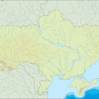
ukraine illustrator eps map vector
29.00 € Select options -
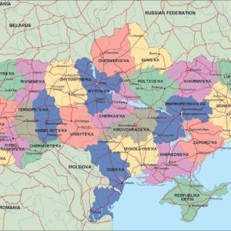
ukraine political eps map vector
99.00 € Select options -
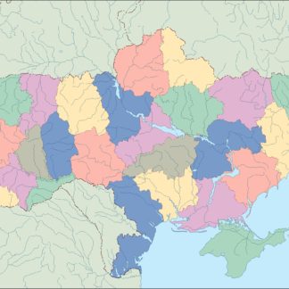
ukraine blind eps map vector
35.00 € Select options
Showing 1–16 of 18 resultsSorted by latest