South Africa Vector EPS maps
Our collection of South Africa Vector EPS maps is a comprehensive set of digital maps that are designed using Adobe Illustrator. These maps are highly detailed and accurate, providing users with a wealth of information about the geography, cities, and landmarks of South Africa.
Each map in our collection is created using vector graphics, which means that they can be scaled to any size without losing quality. This makes them ideal for use in a wide range of applications, from print materials to digital media.
Our South Africa Vector EPS maps include detailed information about the country’s major cities, including Johannesburg, Cape Town, and Durban. They also feature information about important landmarks and natural features, such as Table Mountain and Kruger National Park.
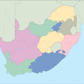
In addition to providing detailed information about South Africa’s geography and landmarks, our maps also include important information about the country’s political boundaries and administrative divisions. This makes them an invaluable resource for anyone who needs to understand the country’s political and administrative structure.
Overall, our collection of South Africa Vector EPS maps is an essential resource for anyone who needs accurate and detailed information about this fascinating country. Whether you’re a student, a researcher, or a business professional, these maps will provide you with the information you need to make informed decisions and gain a deeper understanding of South Africa.
Showing all 12 resultsSorted by latest
-

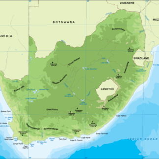
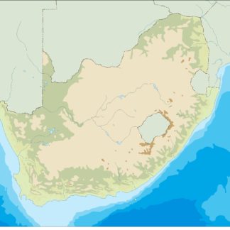
South Africa physical eps map vector
50.00 € Select options -
South Africa transportation eps map vector
55.00 € Select options -
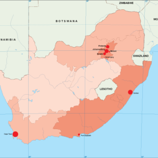
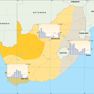
South Africa population eps map vector
60.00 € Select options -
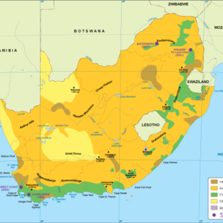
South Africa vegetation eps map vector
70.00 € Select options -
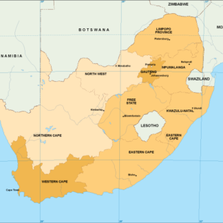
South Africa EPS map vector
80.00 € Select options -
South Africa economic eps map vector
75.00 € Select options -
South Africa climate eps map vector
65.00 € Select options -
south africa illustrator eps map vector
29.00 € Select options -
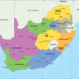
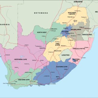
south africa political eps map vector
99.00 € Select options -
south africa blind eps map vector
35.00 € Select options -
south africa eps map vector
39.00 € Select options -
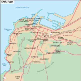
Cape Town city eps map vector
65.00 € Select options

Showing all 12 resultsSorted by latest