Niger Vector EPS maps
Niger Vector EPS maps are a collection of digital maps created using Adobe Illustrator software. These maps are designed to provide accurate and detailed information about the geography, topography, and political boundaries of Niger. The maps are available in a variety of formats, including EPS, which is a vector-based file format that allows for easy scaling and editing.
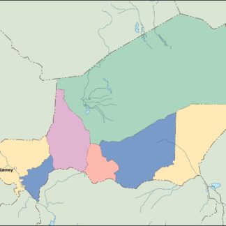
The Niger Vector EPS maps include a range of information about the country, including its location in West Africa, its neighboring countries, and its major cities and towns. The maps also provide information about the country’s natural features, such as its rivers, lakes, and mountains.
One of the key benefits of using Niger Vector EPS maps is that they are highly customizable. Users can easily edit the maps to add or remove information, change colors and fonts, and adjust the size and scale of the map to suit their needs. This makes the maps ideal for a wide range of applications, from educational materials to business presentations.
Overall, Niger Vector EPS maps are an essential tool for anyone looking to gain a better understanding of the geography and political boundaries of Niger. With their detailed information and customizable features, these maps are a valuable resource for students, researchers, and professionals alike.
Showing all 11 resultsSorted by latest
-

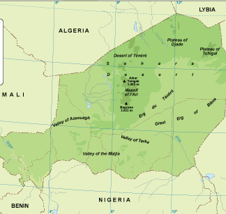
Niger physical eps map vector
50.00 € Select options -
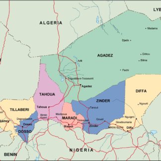
Niger transportation eps map vector
55.00 € Select options -
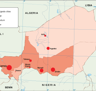
Niger population eps map vector
60.00 € Select options -
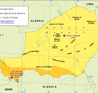
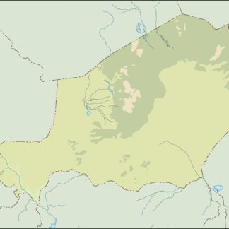
Niger vegetation eps map vector
70.00 € Select options -
Niger EPS map vector
80.00 € Select options -
Niger economic eps map vector
75.00 € Select options -
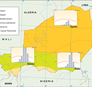
Niger climate eps map vector
65.00 € Select options -

niger illustrator eps map vector
29.00 € Select options -
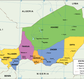
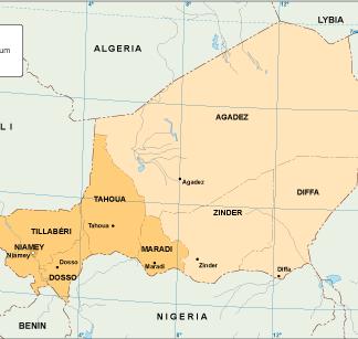
niger political eps map vector
99.00 € Select options -
niger blind eps map vector
35.00 € Select options -
niger eps map vector
39.00 € Select options

Showing all 11 resultsSorted by latest