Gambia Vector EPS maps
Our collection of digital maps in Adobe Illustrator EPS format includes maps of various countries, including Gambia. These maps are highly detailed and accurate, making them ideal for a wide range of applications, from educational materials to business presentations.
The Gambia Vector EPS maps in our collection provide a comprehensive overview of the country’s geography, including its borders, major cities, and important landmarks. These maps are designed to be easy to read and understand, with clear labeling and intuitive symbols.
In addition to providing an overview of the country’s geography, our Gambia Vector EPS maps also include important information about the country’s history, culture, and economy. This information can be used to create engaging and informative presentations, or to help students learn more about this fascinating country.
Whether you are a teacher, a business professional, or simply someone who is interested in learning more about Gambia, our collection of digital maps in Adobe Illustrator EPS format is an invaluable resource. With their high level of detail and accuracy, these maps are sure to provide you with the information you need to explore this beautiful country.
Showing all 11 results
-

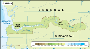
Gambia physical eps map vector
50.00 € Select options -
Gambia transportation eps map vector
55.00 € Select options -
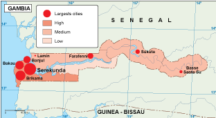
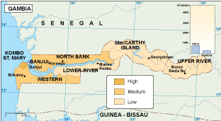
Gambia population eps map vector
60.00 € Select options -
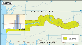
Gambia vegetation eps map vector
70.00 € Select options -
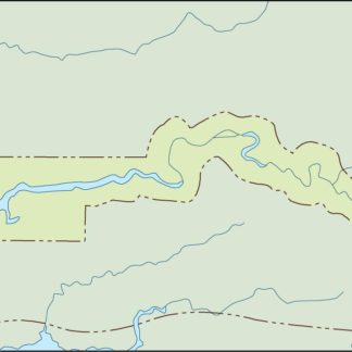
Gambia EPS map vector
80.00 € Select options -
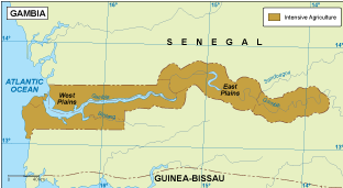
Gambia economic eps map vector
75.00 € Select options -
Gambia climate eps map vector
65.00 € Select options -

gambia illustrator eps map vector
29.00 € Select options -
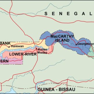
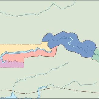
gambia political eps map vector
99.00 € Select options -
gambia blind eps map vector
35.00 € Select options -
gambia eps map vector
39.00 € Select options


Showing all 11 results