South Sudan Vector EPS maps
Our collection of digital maps in Adobe Illustrator EPS format includes maps of various countries, including South Sudan. These maps are designed to be highly detailed and accurate, providing users with a comprehensive view of the country’s geography, topography, and infrastructure.
The South Sudan Vector EPS maps in our collection are particularly useful for those who need to create high-quality graphics or presentations that require detailed maps of the country. These maps include information on important cities, towns, and landmarks, as well as major roads, rivers, and other geographical features.
South Sudan is a landlocked country located in East-Central Africa. It is bordered by Sudan to the north, Ethiopia to the east, Kenya to the southeast, Uganda to the south, the Democratic Republic of the Congo to the southwest, and the Central African Republic to the west.
Some of the major cities in South Sudan include Juba, the capital and largest city, as well as Wau, Malakal, and Bor. The country is also home to several important rivers, including the White Nile, which flows through the capital city of Juba.
Overall, our collection of South Sudan Vector EPS maps is an essential resource for anyone who needs to create high-quality graphics or presentations that require detailed maps of the country. With accurate and up-to-date information on important cities, towns, and landmarks, these maps are an invaluable tool for anyone working in fields such as geography, cartography, or urban planning.
Showing all 11 results
-

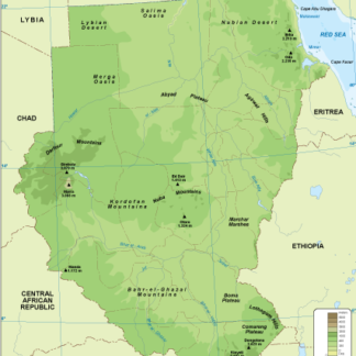
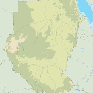
Sudan physical eps map vector
50.00 € Select options -
Sudan transportation eps map vector
55.00 € Select options -
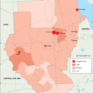
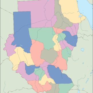
Sudan population eps map vector
60.00 € Select options -
Sudan vegetation eps map vector
70.00 € Select options -
Sudan EPS map vector
80.00 € Select options -
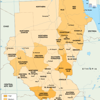
Sudan economic eps map vector
75.00 € Select options -
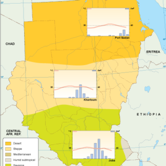
Sudan climate eps map vector
65.00 € Select options -
sudan illustrator eps map vector
29.00 € Select options -
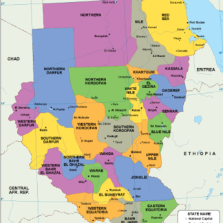
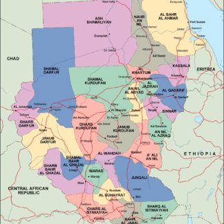
sudan political eps map vector
99.00 € Select options -
sudan blind eps map vector
35.00 € Select options -
sudan eps map vector
39.00 € Select options


Showing all 11 results