Swaziland Vector EPS maps
Swaziland Vector EPS maps are a collection of digital maps created using Adobe Illustrator software. These maps are designed to provide accurate and detailed information about the geography, topography, and landmarks of Swaziland, a small landlocked country located in southern Africa.
The Swaziland Vector EPS maps include a range of features, such as major cities, towns, and villages, as well as important landmarks like national parks, rivers, and mountains. These maps are designed to be highly detailed and accurate, providing users with a comprehensive view of the country’s geography and topography.
In addition to providing information about the country’s physical features, the Swaziland Vector EPS maps also include important information about the country’s political and economic situation. This includes information about the country’s government, economy, and major industries, as well as key demographic data like population size and density.
Overall, the Swaziland Vector EPS maps are an essential resource for anyone looking to explore or do business in this fascinating country. Whether you are a tourist, a business owner, or a researcher, these maps provide a wealth of information and insights that can help you better understand Swaziland and its people.
Showing all 11 results
-

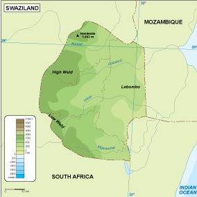
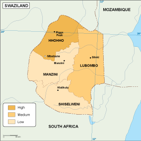
Swaziland physical eps map vector
50.00 € Select options -
Swaziland transportation eps map vector
55.00 € Select options -
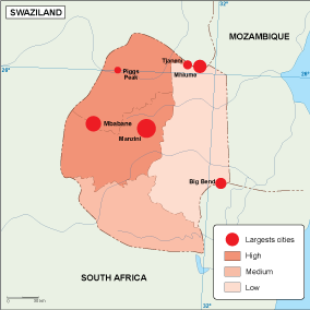
Swaziland population eps map vector
60.00 € Select options -
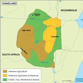
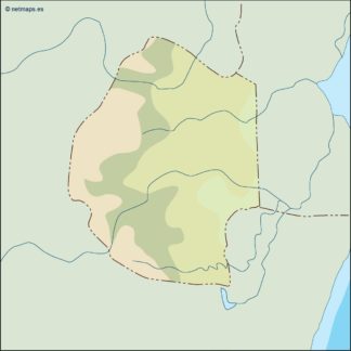
Swaziland vegetation eps map vector
70.00 € Select options -
Swaziland EPS map vector
80.00 € Select options -
Swaziland economic eps map vector
75.00 € Select options -
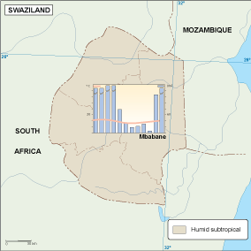
Swaziland climate eps map vector
65.00 € Select options -

swaziland illustrator eps map vector
29.00 € Select options -
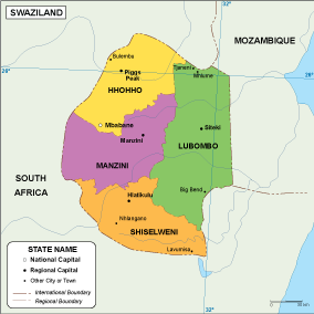
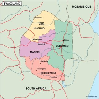
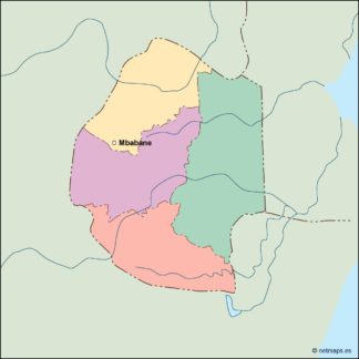
swaziland political eps map vector
99.00 € Select options -
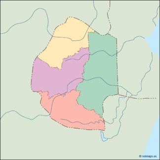
swaziland blind eps map vector
35.00 € Select options -
swaziland eps map vector
39.00 € Select options
Showing all 11 results