Togo Vector EPS maps
Our collection of Togo Vector EPS maps is a comprehensive set of digital maps created using Adobe Illustrator. These maps are designed to provide accurate and detailed information about the geography, topography, and infrastructure of Togo.
Each map in our collection includes important information about the country, such as the location of major cities, towns, and villages, as well as key landmarks and points of interest. The maps also provide detailed information about the country’s road network, including major highways, secondary roads, and local streets.
In addition to providing detailed information about Togo’s geography and infrastructure, our vector EPS maps are also designed to be highly customizable. This means that users can easily modify the maps to suit their specific needs, whether they are creating a presentation, designing a website, or conducting research.
Overall, our collection of Togo Vector EPS maps is an essential resource for anyone who needs accurate and detailed information about this fascinating country. Whether you are a student, researcher, or business professional, these maps will provide you with the information you need to make informed decisions and achieve your goals.
Showing all 11 resultsSorted by latest
-

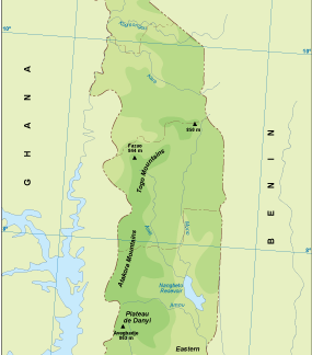
Togo physical eps map vector
50.00 € Select options -

Togo transportation eps map vector
55.00 € Select options -

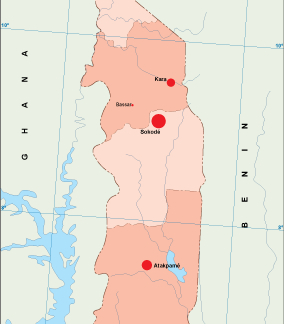
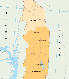
Togo population eps map vector
60.00 € Select options -
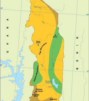
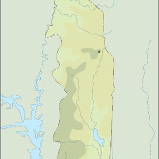
Togo vegetation eps map vector
70.00 € Select options -
Togo EPS map vector
80.00 € Select options -
Togo economic eps map vector
75.00 € Select options -
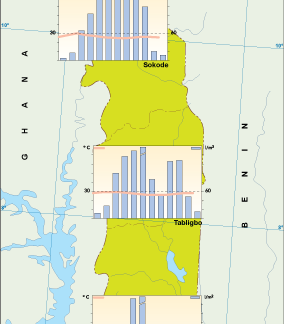
Togo climate eps map vector
65.00 € Select options -

togo illustrator eps map vector
29.00 € Select options -
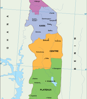
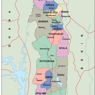
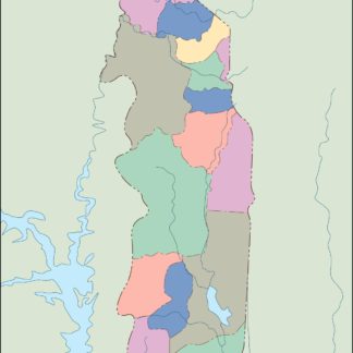
togo political eps map vector
99.00 € Select options -
togo blind eps map vector
35.00 € Select options -
togo eps map vector
39.00 € Select options

Showing all 11 resultsSorted by latest