Canada Vector EPS maps
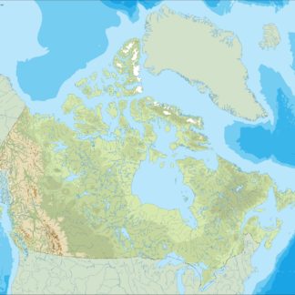
Canada Vector EPS maps are a collection of digital maps created using Adobe Illustrator software. These maps are designed to provide accurate and detailed information about the geography, topography, and political boundaries of Canada. They are available in a variety of formats, including EPS, which is a vector-based file format that allows for easy scaling and editing.
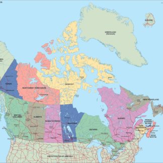
Each Canada Vector EPS map includes a range of features, such as major cities, highways, rivers, lakes, and national parks. These maps also provide information about the location of important landmarks and tourist attractions, as well as the country’s various provinces and territories.
One of the key benefits of using Canada Vector EPS maps is their versatility. They can be easily customized to meet the specific needs of different users, whether they are businesses, government agencies, or individuals. For example, a company might use these maps to create marketing materials that highlight the location of their offices or stores across Canada. Alternatively, a government agency might use these maps to plan emergency response strategies or to analyze demographic data.
Overall, Canada Vector EPS maps are an essential tool for anyone who needs accurate and up-to-date information about the geography and political boundaries of Canada. They are easy to use, highly customizable, and provide a wealth of information about this vast and diverse country.
Showing 1–16 of 17 resultsSorted by latest
-

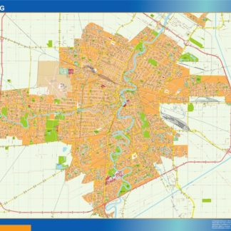
winnipeg eps map vector
995.00 € Select options -
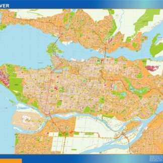
vancouver eps map vector
995.00 € Select options -
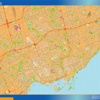
toronto eps map vector
995.00 € Select options -
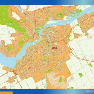
quebec eps map vector
995.00 € Select options -
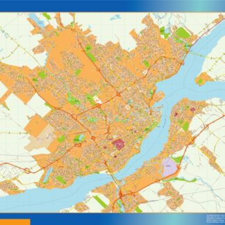
ottawa eps map vector
995.00 € Select options -
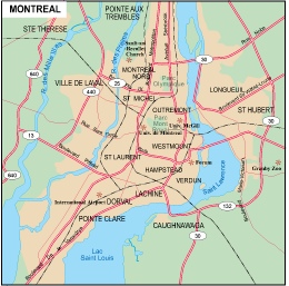
montreal eps map vector
995.00 € Select options -
mississauga eps map vector
995.00 € Select options -
hamilton eps map vector
995.00 € Select options -
halifax eps map vector
995.00 € Select options -
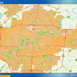
edmonton eps map vector
995.00 € Select options -
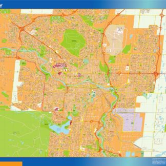
calgary eps map vector
995.00 € Select options -
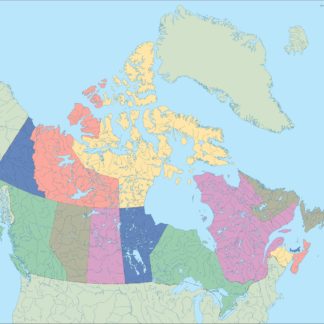
canada illustrator eps map vector
29.00 € Select options -
canada political eps map vector
99.00 € Select options -
canada blind eps map vector
35.00 € Select options -
canada eps map vector
39.00 € Select options -

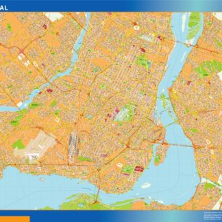
Montreal city eps map vector
65.00 € Select options


Showing 1–16 of 17 resultsSorted by latest