Albania Vector EPS maps
Our collection of digital maps in Adobe Illustrator EPS format includes maps of Albania. These maps are highly detailed and accurate, providing users with a comprehensive view of the country’s geography, including its cities, towns, and important landmarks.
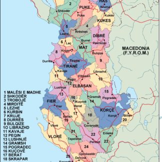
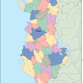
Albania is located in southeastern Europe, bordered by Montenegro to the northwest, Kosovo to the northeast, North Macedonia to the east, Greece to the south and southeast, and the Adriatic and Ionian Seas to the west and southwest. The country’s capital and largest city is Tirana, which is located in the central part of the country.
Our Albania Vector EPS maps include detailed information about the country’s major cities, including Tirana, Durres, Vlore, Shkoder, and Elbasan. These maps also highlight important landmarks and attractions, such as the Albanian Alps, the Blue Eye, and the Butrint National Park.
Whether you’re a traveler planning a trip to Albania or a business owner looking to expand your operations in the country, our collection of digital maps in Adobe Illustrator EPS format is an invaluable resource. With highly detailed and accurate information, these maps provide users with a comprehensive view of Albania’s geography, making it easier to navigate and explore this beautiful country.
Showing all 10 results
-

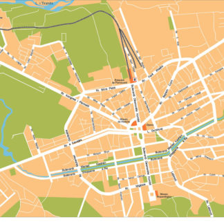
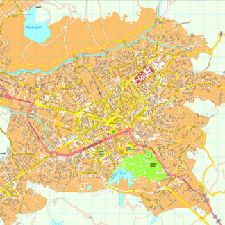
Tirana Vector EPS map vector
280.00 € Select options -
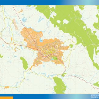
Tirana Illustrator eps map vector
160.00 € Select options -
Tirane eps map vector
795.00 € Select options -

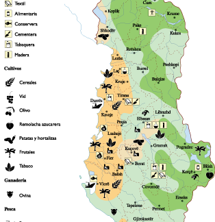
Albania Economic eps map vector
75.00 € Select options -
albania illustrator eps map vector
29.00 € Select options -
albania political eps map vector
99.00 € Select options -
albania blind eps map vector
35.00 € Select options -
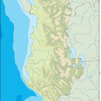
albania eps map vector
39.00 € Select options -
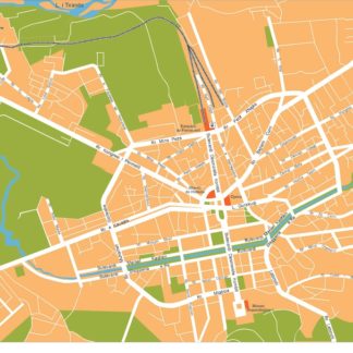
Tirana eps map vector
495.00 € Select options -
Tirana eps illustrator vector map
140.00 € Select options


Showing all 10 results