Chad Vector EPS maps
Our collection of digital maps in Adobe Illustrator EPS format includes maps of Chad. These maps are highly detailed and accurate, providing users with a comprehensive view of the country’s geography, including its cities, towns, and important landmarks.
Chad is a landlocked country located in Central Africa, bordered by Libya to the north, Sudan to the east, the Central African Republic to the south, Cameroon and Nigeria to the southwest, and Niger to the west. The country’s capital and largest city is N’Djamena, which is located in the southwestern part of the country.
Our Chad Vector EPS maps include detailed information about the country’s major cities, including N’Djamena, Moundou, Sarh, and Abéché. They also feature important landmarks such as Lake Chad, the Ennedi Plateau, and the Tibesti Mountains.
Whether you’re a student, researcher, or business professional, our collection of digital maps in Adobe Illustrator EPS format is an essential tool for anyone looking to gain a better understanding of Chad’s geography and important landmarks. With our highly detailed and accurate maps, you can explore the country’s cities, towns, and natural features with ease.
Showing all 11 resultsSorted by latest
-

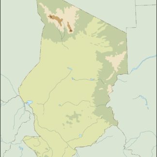
Chad physical eps map vector
50.00 € Select options -
Chad transportation eps map vector
55.00 € Select options -
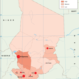
Chad population eps map vector
60.00 € Select options -
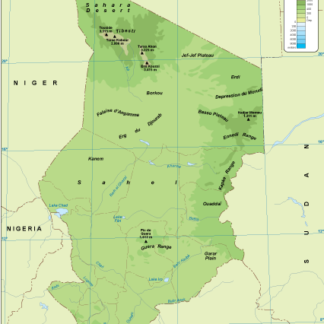
Chad vegetation eps map vector
70.00 € Select options -
Chad EPS map vector
80.00 € Select options -
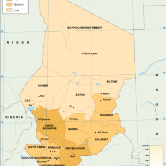
Chad economic eps map vector
75.00 € Select options -
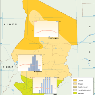
Chad climate eps map vector
65.00 € Select options -
chad illustrator eps map vector
29.00 € Select options -
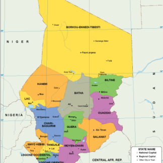
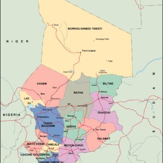
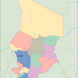
chad political eps map vector
99.00 € Select options -
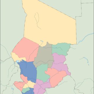
chad blind eps map vector
35.00 € Select options -
chad eps map vector
39.00 € Select options

Showing all 11 resultsSorted by latest