El Salvador Vector EPS maps
Welcome to epsmaps.com, your go-to source for high-quality digital maps in Adobe Illustrator EPS format. Our collection includes maps for various countries, including El Salvador.
Our El Salvador Vector EPS maps are designed to provide businesses with accurate and detailed information about the country’s geography, cities, and important landmarks. These maps are perfect for companies that need to create marketing materials, presentations, or reports that require a visual representation of El Salvador.
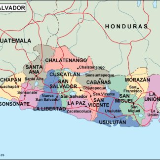
Our El Salvador Vector EPS maps include detailed information about the country’s major cities, such as San Salvador, Santa Ana, and San Miguel. These maps also highlight important landmarks, such as the Coatepeque Caldera, the Joya de Cerén archaeological site, and the Tazumal ruins.
In addition to providing information about El Salvador’s cities and landmarks, our Vector EPS maps also show the country’s location in Central America. This makes it easy for businesses to understand El Salvador’s position in relation to other countries in the region.
Our El Salvador Vector EPS maps are designed to be easy to use and customize. They are fully editable in Adobe Illustrator, which means that businesses can add their own branding, colors, and text to the maps. This makes it easy to create custom maps that meet the specific needs of your business.
Overall, our El Salvador Vector EPS maps are an essential tool for businesses that need accurate and detailed information about the country’s geography, cities, and landmarks. With our high-quality maps, you can create professional-looking marketing materials, presentations, and reports that will impress your clients and customers.
Showing all 4 results
-

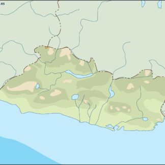
el salvador illustrator eps map vector
29.00 € Select options -
el salvador political eps map vector
99.00 € Select options -
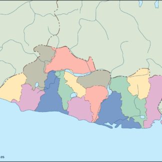
el salvador blind eps map vector
35.00 € Select options -
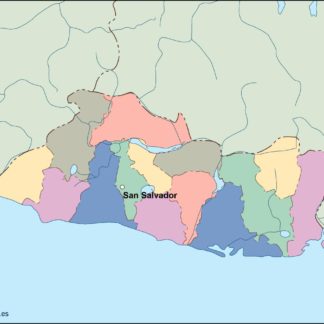
el salvador eps map vector
39.00 € Select options
Showing all 4 results