Eritrea Vector EPS maps
Our collection of digital maps in Adobe Illustrator EPS format includes maps of Eritrea. These maps are highly detailed and accurate, providing users with a comprehensive view of the country’s geography, topography, and infrastructure.
Eritrea is located in the Horn of Africa and is bordered by Sudan to the west, Ethiopia to the south, and Djibouti to the southeast. The country has a coastline along the Red Sea to the east, which is an important shipping route for international trade.
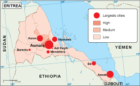
Our Eritrea Vector EPS maps include detailed information about the country’s major cities, including Asmara, the capital and largest city, as well as Massawa, Keren, and Assab. These maps also highlight important landmarks and tourist attractions, such as the Dahlak Archipelago, the Gash-Barka region, and the Danakil Depression.
Whether you are a traveler, researcher, or business professional, our collection of Eritrea Vector EPS maps is an essential tool for understanding the country’s geography and infrastructure. With high-quality graphics and detailed information, these maps are perfect for a wide range of applications, from educational materials to marketing campaigns.
Showing all 11 results
-

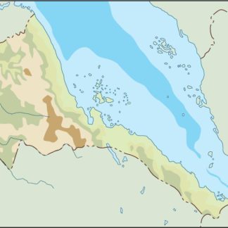
Eritrea physical eps map vector
50.00 € Select options -
Eritrea transportation eps map vector
55.00 € Select options -
Eritrea population eps map vector
60.00 € Select options -
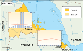
Eritrea vegetation eps map vector
70.00 € Select options -
Eritrea EPS map vector
80.00 € Select options -
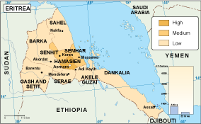
Eritrea economic eps map vector
75.00 € Select options -
Eritrea climate eps map vector
65.00 € Select options -

eritrea illustrator eps map vector
29.00 € Select options -
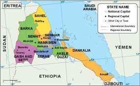
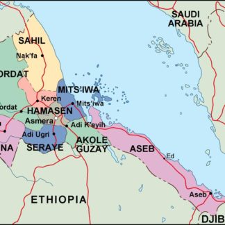
eritrea political eps map vector
99.00 € Select options -
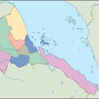
eritrea blind eps map vector
35.00 € Select options -
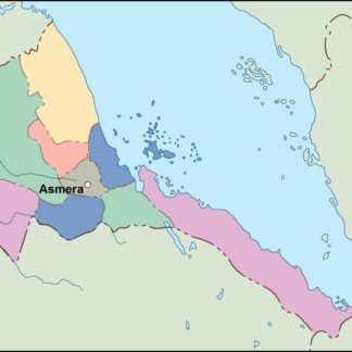
eritrea eps map vector
39.00 € Select options


Showing all 11 results