Dominicana Republic Vector EPS maps
EPSmaps.com offers a wide range of digital map collections for businesses, including vector EPS maps for the Dominican Republic. These maps are created using Adobe Illustrator and are designed to be highly accurate and detailed, making them an ideal tool for businesses looking to expand their operations in the Dominican Republic.
The vector EPS maps for the Dominican Republic include a range of information about the country, including its location in the Caribbean, its major cities and towns, and its key landmarks and attractions. These maps are designed to be easy to use and navigate, with clear labeling and intuitive design features that make them accessible to users of all skill levels.
Whether you are looking to expand your business in the Dominican Republic or simply want to explore this beautiful country in more detail, EPSmaps.com has the perfect digital map collection for you. With our high-quality vector EPS maps, you can explore the country’s geography, history, and culture in stunning detail, and gain a deeper understanding of this fascinating and vibrant nation. So why wait? Visit EPSmaps.com today and start exploring the Dominican Republic like never before!
Showing all 6 results
-

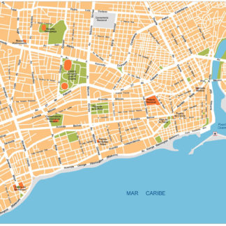
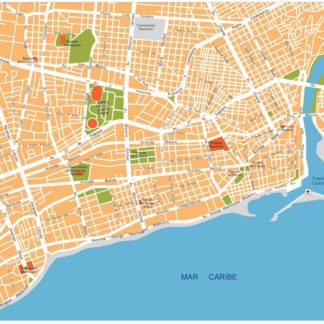
Santo Domingo Illustrator eps map vector
160.00 € Select options -
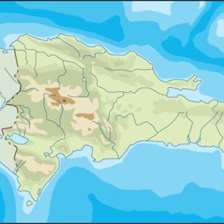
dominicana republic illustrator eps map vector
29.00 € Select options -
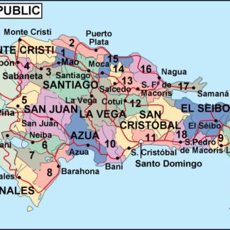
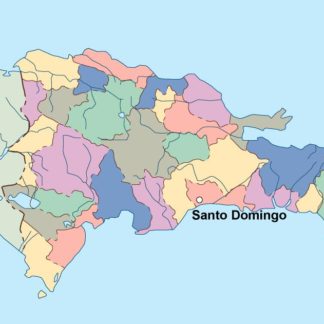
dominicana republic political eps map vector
99.00 € Select options -
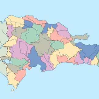
dominicana republic blind eps map vector
35.00 € Select options -
dominicana republic eps map vector
39.00 € Select options -
Santo Domingo eps illustrator vector map
140.00 € Select options
Showing all 6 results