Kenya Vector EPS maps
Kenya Vector EPS maps are a collection of digital maps created using Adobe Illustrator software. These maps are designed to provide accurate and detailed information about the geography, topography, and infrastructure of Kenya. They are available in various formats, including EPS, which is a vector-based file format that allows for easy scaling and editing.
The Kenya Vector EPS maps include information about the country’s major cities, such as Nairobi, Mombasa, and Kisumu, as well as its national parks, lakes, and rivers. They also provide information about the country’s borders, including its neighboring countries of Tanzania, Uganda, South Sudan, Ethiopia, and Somalia.
These maps are useful for a variety of purposes, including tourism, education, and business. They can be used to plan travel itineraries, study the geography and history of Kenya, and analyze market trends and opportunities in the country.
Overall, the Kenya Vector EPS maps are an essential tool for anyone who wants to explore and understand this beautiful and diverse country. They provide a wealth of information about its geography, culture, and economy, and are an invaluable resource for anyone who wants to do business or travel in Kenya.
Showing all 11 resultsSorted by latest
-

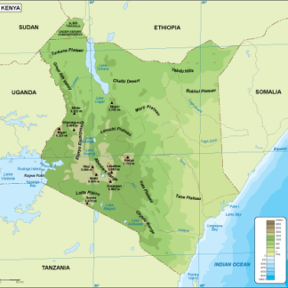
Kenya physical eps map vector
50.00 € Select options -
Kenya transportation eps map vector
55.00 € Select options -
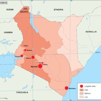
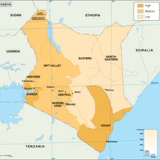
Kenya population eps map vector
60.00 € Select options -
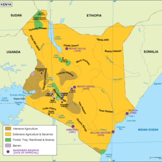
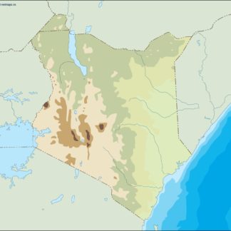
Kenya vegetation eps map vector
70.00 € Select options -
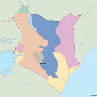
Kenya EPS map vector
80.00 € Select options -
Kenya economic eps map vector
75.00 € Select options -
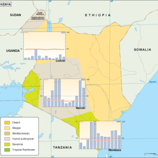
Kenya climate eps map vector
65.00 € Select options -
kenya illustrator eps map vector
29.00 € Select options -
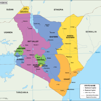
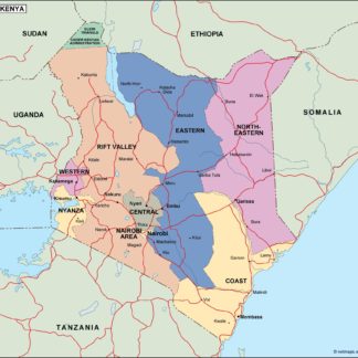
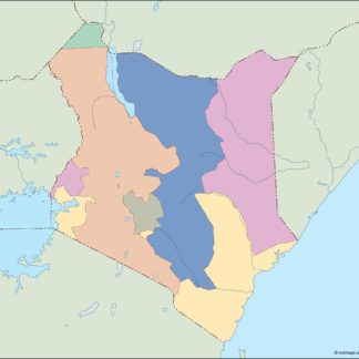
kenya political eps map vector
99.00 € Select options -
kenya blind eps map vector
35.00 € Select options -
kenya eps map vector
39.00 € Select options
Showing all 11 resultsSorted by latest