Honduras Vector EPS maps
Welcome to epsmaps.com, your go-to source for high-quality digital maps in Adobe Illustrator EPS format. Our collection includes maps for various countries, including Honduras.
Our Honduras Vector EPS maps are designed to provide businesses with accurate and detailed information about the country’s geography, cities, and landmarks. These maps are perfect for companies that need to create marketing materials, presentations, or reports that require a visual representation of Honduras.
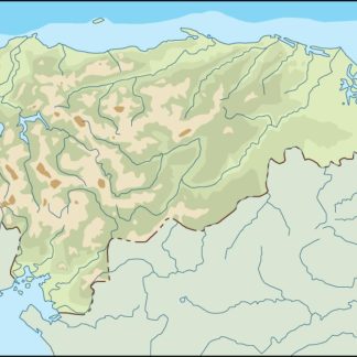
Our Honduras Vector EPS maps include all major cities, such as Tegucigalpa, San Pedro Sula, and La Ceiba, as well as smaller towns and villages. The maps also show important landmarks, such as national parks, rivers, and mountains.
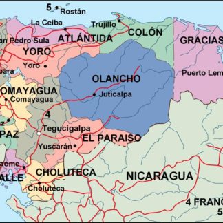
In addition to providing detailed information about Honduras’ geography, our Vector EPS maps also include important political and administrative boundaries. This includes the location of the country’s departments, municipalities, and other administrative divisions.
Our Honduras Vector EPS maps are designed to be easy to use and customize. They are fully editable in Adobe Illustrator, allowing businesses to add their own branding, colors, and other design elements. This makes it easy to create maps that are tailored to your specific needs.
Whether you’re a business looking to expand into Honduras or a government agency needing accurate maps for planning purposes, our Honduras Vector EPS maps are the perfect solution. Contact us today to learn more about our collection of digital maps.
Showing all 5 resultsSorted by latest
-

honduras illustrator eps map vector
29.00 € Select options -
honduras political eps map vector
99.00 € Select options -
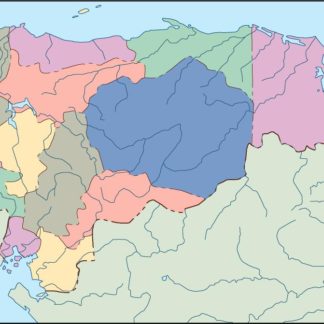
honduras blind eps map vector
35.00 € Select options -
honduras eps map vector
39.00 € Select options -
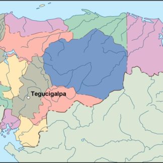
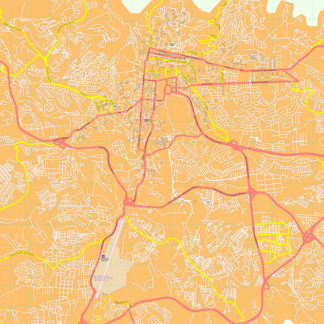
Tegucigalpa eps map vector
195.00 € Select options
Showing all 5 resultsSorted by latest