Indonesia Vector EPS maps
Welcome to epsmaps.com, your go-to source for high-quality digital maps in Adobe Illustrator EPS format. Our collection includes maps of various countries, including Indonesia.
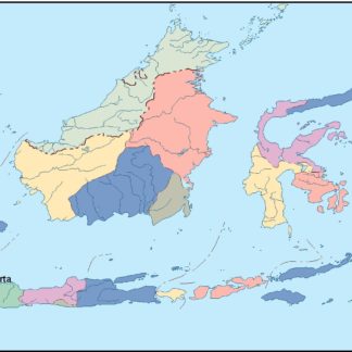
Our Indonesia Vector EPS maps are designed to provide businesses with accurate and detailed information about the country’s geography, cities, and regions. These maps are created using vector graphics, which means they can be scaled to any size without losing quality.
Indonesia is a vast archipelago located in Southeast Asia, consisting of over 17,000 islands. It is the world’s fourth most populous country, with a population of over 270 million people. The country is known for its diverse culture, stunning natural beauty, and rich history.
Our Indonesia Vector EPS maps include detailed information about the country’s major cities, such as Jakarta, Surabaya, and Bandung. These maps also highlight important landmarks, such as national parks, mountains, and beaches.
Whether you’re a business looking to expand your operations in Indonesia or a traveler planning a trip to this beautiful country, our Indonesia Vector EPS maps are an essential tool for navigating and exploring this fascinating destination. So, browse our collection today and discover the power of digital maps in Adobe Illustrator EPS format.
Showing all 6 results
-

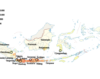
Indonesia Population eps map vector
60.00 € Select options -

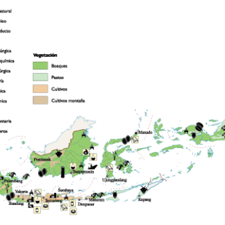
Indonesia Economic eps map vector
75.00 € Select options -
indonesia illustrator eps map vector
29.00 € Select options -
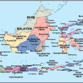
indonesia political eps map vector
99.00 € Select options -
indonesia blind eps map vector
35.00 € Select options -
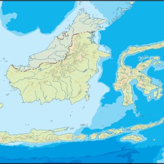
indonesia eps map vector
39.00 € Select options

Showing all 6 results