Nicaragua Vector EPS maps
EPSmaps.com offers a wide range of digital map collections for businesses in Adobe Illustrator EPS format. Our maps are designed to provide accurate and detailed information about various countries and regions around the world. One of our popular collections is the Nicaragua Vector EPS maps.
Our Nicaragua Vector EPS maps are created using the latest technology and are designed to provide businesses with accurate and up-to-date information about the country. The maps include detailed information about the country’s geography, including its borders, rivers, lakes, and mountains. They also feature important cities and towns, as well as major roads and highways.
Nicaragua is a country located in Central America, bordered by Honduras to the north and Costa Rica to the south. It is known for its stunning natural beauty, including its beaches, lakes, and volcanoes. The country’s capital city is Managua, which is also the largest city in the country. Other important cities include Granada, Leon, and Masaya.
Our Nicaragua Vector EPS maps are perfect for businesses looking to expand their operations in the country. They can be used for a variety of purposes, including marketing, logistics, and planning. With our maps, businesses can easily identify key locations, plan routes, and analyze market trends.
Overall, our Nicaragua Vector EPS maps are an essential tool for any business looking to succeed in the country. They provide accurate and detailed information about the country’s geography, cities, and infrastructure, making it easier for businesses to make informed decisions and achieve their goals.
Showing all 4 resultsSorted by latest
-

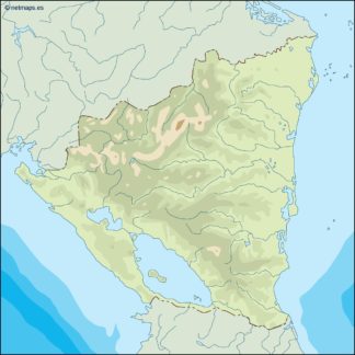
nicaragua illustrator eps map vector
29.00 € Select options -
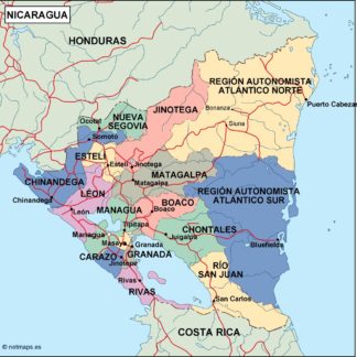
nicaragua political eps map vector
99.00 € Select options -
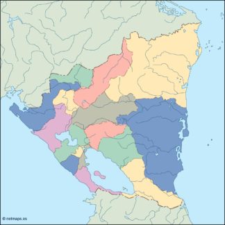
nicaragua blind eps map vector
35.00 € Select options -
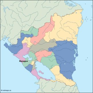
nicaragua eps map vector
39.00 € Select options
Showing all 4 resultsSorted by latest