Slovakia Vector EPS maps
Welcome to epsmaps.com, your go-to source for high-quality digital maps in Adobe Illustrator EPS format. Our collection includes maps for various countries, including Slovakia.
Our Slovakia Vector EPS maps are designed to provide businesses with accurate and detailed information about the country’s geography, cities, and regions. These maps are perfect for companies that need to create marketing materials, presentations, or reports that require a visual representation of Slovakia.
Our Slovakia Vector EPS maps include all major cities, towns, and villages, as well as important landmarks and geographical features. You can easily customize these maps to suit your specific needs, whether you need to highlight a particular region or add your own branding.
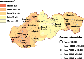
Slovakia is a landlocked country in Central Europe, bordered by Poland to the north, Ukraine to the east, Hungary to the south, and Austria to the west. The country has a population of approximately 5.5 million people and covers an area of 49,035 square kilometers.
Some of the most important cities in Slovakia include Bratislava, the capital and largest city, as well as Kosice, Presov, Nitra, and Zilina. Slovakia is also home to several important landmarks, including the High Tatras mountain range, the Danube River, and the medieval castle of Spišský hrad.
Whether you’re a business looking to expand into Slovakia or a traveler planning a trip to the country, our Slovakia Vector EPS maps are an essential tool for navigating and understanding this beautiful and fascinating country.
Showing all 12 results
-

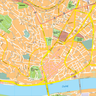
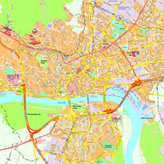
Bratislava Vector EPS map vector
280.00 € Select options -
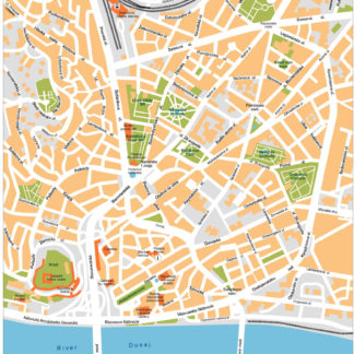
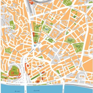
Bratislava Illustrator eps map vector
160.00 € Select options -

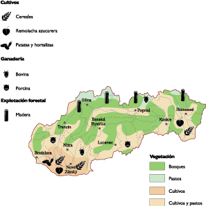
Slovak Republic Agricultural eps map vector
70.00 € Select options -

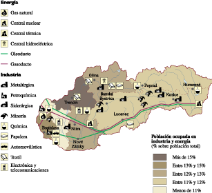
Slovak Republic Economic eps map vector
75.00 € Select options -

Slovak Republic Climate eps map vector
65.00 € Select options -

Slovak Republic Population eps map vector
60.00 € Select options -
slovakia illustrator eps map vector
29.00 € Select options -
slovakia political eps map vector
99.00 € Select options -
slovakia blind eps map vector
35.00 € Select options -
slovakia eps map vector
39.00 € Select options -
Bratislava eps map vector
495.00 € Select options -
Bratislava eps illustrator vector map
140.00 € Select options


Showing all 12 results