Guatemala Vector EPS maps
EPSmaps.com offers a wide range of digital map collections for businesses in Adobe Illustrator EPS format. Our maps are designed to provide accurate and detailed information about different countries and regions around the world. One of our popular collections is the Guatemala Vector EPS maps.
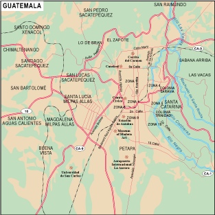
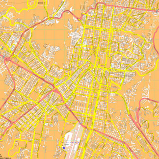
These maps are created using the latest technology and are designed to be highly accurate and detailed. They provide a comprehensive view of Guatemala, including its major cities, towns, and landmarks. Our maps are perfect for businesses that need to plan their operations in Guatemala or for individuals who want to explore the country.
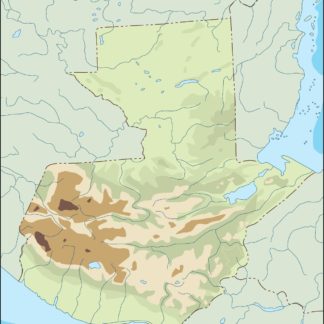
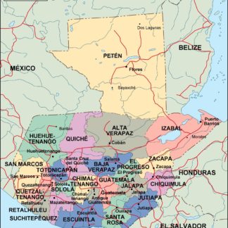
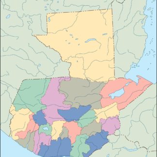
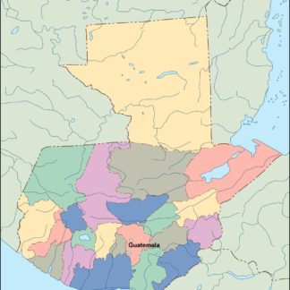
Guatemala is a country located in Central America, bordered by Mexico to the north and west, Belize to the northeast, Honduras to the east, El Salvador to the southeast, and the Pacific Ocean to the south. The country has a diverse landscape, including mountains, forests, and beaches. Its capital city is Guatemala City, which is also the largest city in the country.
Our Guatemala Vector EPS maps provide detailed information about the country’s major cities, including Guatemala City, Antigua Guatemala, Quetzaltenango, and Escuintla. They also include information about important landmarks such as Lake Atitlan, Tikal National Park, and the Mayan ruins of Copan.
Overall, our Guatemala Vector EPS maps are an essential tool for businesses and individuals who need accurate and detailed information about the country. They are easy to use and can be customized to meet your specific needs. So, if you are planning to do business in Guatemala or want to explore the country, be sure to check out our collection of digital maps.
Showing all 6 resultsSorted by latest
-

guatemala illustrator eps map vector
29.00 € Select options -
guatemala political eps map vector
99.00 € Select options -
guatemala blind eps map vector
35.00 € Select options -
guatemala eps map vector
39.00 € Select options -

Guatemala city eps map vector
65.00 € Select options -
Guatemala city eps map vector eps map vector
395.00 € Select options
Showing all 6 resultsSorted by latest