Hungary Vector EPS maps
Welcome to epsmaps.com, your go-to source for high-quality digital maps in Adobe Illustrator EPS format. Our collection includes maps of various countries, including Hungary.
Our Hungary Vector EPS maps are designed to provide businesses with accurate and detailed information about the country’s geography, cities, and regions. These maps are perfect for companies that need to create marketing materials, presentations, or reports that require a visual representation of Hungary.
Our Hungary Vector EPS maps include all major cities, towns, and villages, as well as important landmarks and geographical features. You can easily customize these maps to suit your specific needs, whether you need to highlight certain areas or add your own branding.
Hungary is a landlocked country located in Central Europe. It is bordered by Austria, Slovakia, Ukraine, Romania, Serbia, Croatia, and Slovenia. The country’s capital and largest city is Budapest, which is known for its stunning architecture, thermal baths, and vibrant nightlife.
Other important cities in Hungary include Debrecen, Szeged, Miskolc, and Pécs. The country is also home to several national parks, including the Hortobágy National Park, which is a UNESCO World Heritage Site.
Whether you’re a business looking to expand into Hungary or a traveler planning a trip to this beautiful country, our Hungary Vector EPS maps are an essential tool for navigating and exploring all that Hungary has to offer.
Showing all 14 results
-

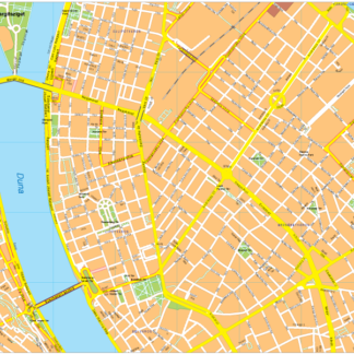
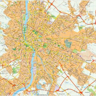
Budapest Vector EPS map vector
280.00 € Select options -
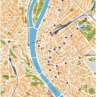
Budapest Illustrator eps map vector
160.00 € Select options -
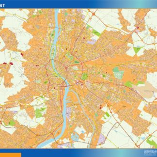
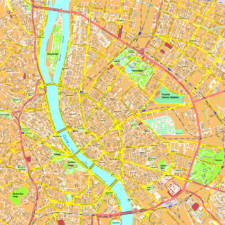
Budapest eps map vector
845.00 € Select options -

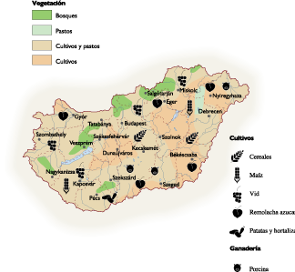
Hungary Agricultural eps map vector
70.00 € Select options -

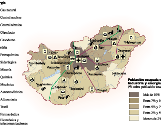
Hungary Economic eps map vector
75.00 € Select options -

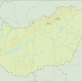
Hungary Climate eps map vector
65.00 € Select options -

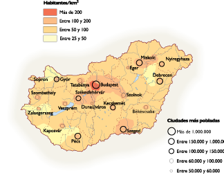
Hungary Population eps map vector
60.00 € Select options -
hungary illustrator eps map vector
29.00 € Select options -
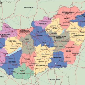
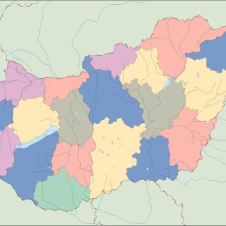
hungary political eps map vector
99.00 € Select options -
hungary blind eps map vector
35.00 € Select options -
hungary eps map vector
39.00 € Select options -
Budapest eps map vector
200.00 € Select options -
Budapest eps map vector
495.00 € Select options -
Budapest eps illustrator vector map
140.00 € Select options


Showing all 14 results