Brazil Vector EPS maps
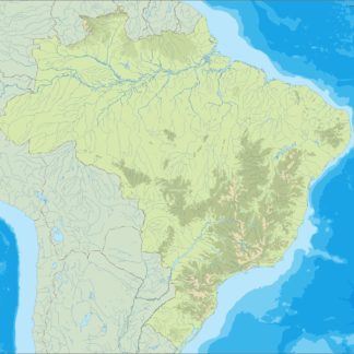
Our collection of digital maps in Adobe Illustrator EPS format includes maps of Brazil. These maps are highly detailed and accurate, providing users with a comprehensive view of the country’s geography, cities, and important landmarks.
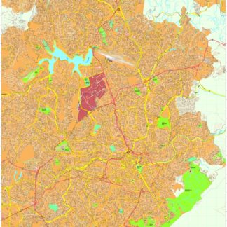
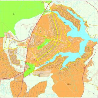
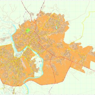
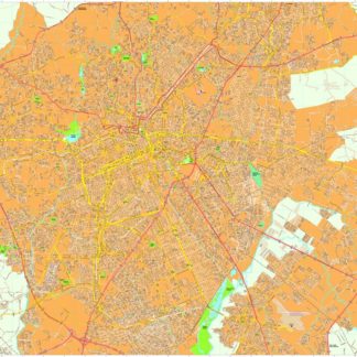
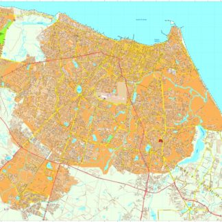
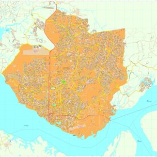
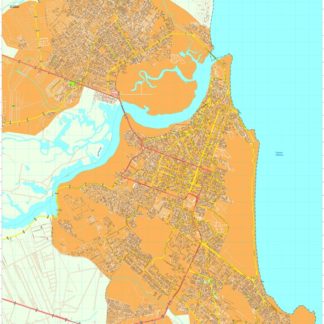
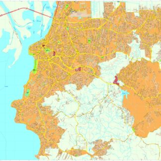
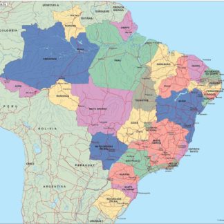
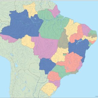
The Brazil Vector EPS maps feature all major cities, including Rio de Janeiro, Sao Paulo, and Brasilia, as well as smaller towns and villages. The maps also show the country’s borders, major highways, and bodies of water, making them ideal for use in a variety of applications, from educational materials to business presentations.
In addition to their accuracy and detail, our Brazil Vector EPS maps are also highly customizable. Users can easily edit the maps to add their own data, such as sales territories or demographic information, or to highlight specific areas of interest.
Overall, our collection of digital maps in Adobe Illustrator EPS format is an essential resource for anyone looking to explore and understand the geography of Brazil. Whether you’re a student, a business professional, or a traveler, these maps provide a wealth of information and insight into this fascinating country.
Showing 1–16 of 20 results
-

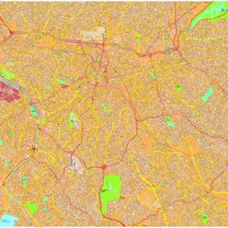
Belo Horizonte eps map vector
895.00 € Select options -
Brasilia eps map vector
895.00 € Select options -
Cuiaba eps map vector
695.00 € Select options -
Curitiba eps map vector
695.00 € Select options -
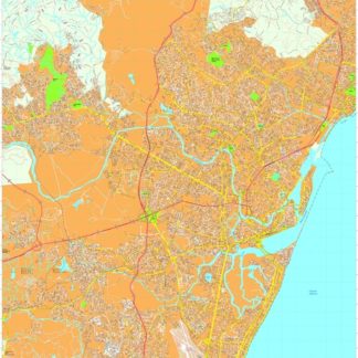
Fortaleza eps map vector
895.00 € Select options -
Manaus eps map vector
795.00 € Select options -
Natal eps map vector
795.00 € Select options -
Porto Alegre eps map vector
895.00 € Select options -
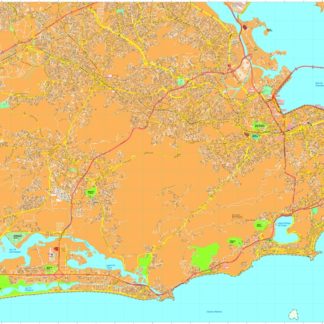
Recife eps map vector
795.00 € Select options -
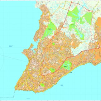
Rio de janeiro eps map vector
895.00 € Select options -
Salvador Bahia eps map vector
895.00 € Select options -
Sao Paulo eps map vector
895.00 € Select options -
brazil illustrator eps map vector
29.00 € Select options -
brazil political eps map vector
99.00 € Select options -
brazil blind eps map vector
35.00 € Select options -
brazil eps map vector
39.00 € Select options

Showing 1–16 of 20 results