Malawi Vector EPS maps
Malawi Vector EPS maps are a collection of digital maps created using Adobe Illustrator software. These maps are designed to provide accurate and detailed information about the geography, topography, and infrastructure of Malawi, a landlocked country located in southeastern Africa.
The Malawi Vector EPS maps include a range of features such as major cities, towns, rivers, lakes, mountains, and other important landmarks. These maps are designed to be highly customizable, allowing users to add or remove specific features as needed.
One of the key benefits of using Malawi Vector EPS maps is that they provide a high level of accuracy and detail. This makes them ideal for a range of applications, including urban planning, transportation, and logistics.
In addition to providing detailed information about the geography and infrastructure of Malawi, these maps also include important information about the country’s political and economic situation. This can be useful for businesses and organizations looking to expand their operations in Malawi, as well as for researchers and academics studying the country.
Overall, Malawi Vector EPS maps are an essential tool for anyone looking to gain a deeper understanding of this fascinating country. Whether you are a business owner, researcher, or simply a curious traveler, these maps provide a wealth of information that can help you make informed decisions and better understand the world around you.
Showing all 11 results
-

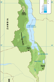
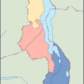
Malawi physical eps map vector
50.00 € Select options -

Malawi transportation eps map vector
55.00 € Select options -

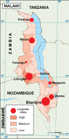
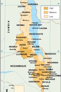
Malawi population eps map vector
60.00 € Select options -
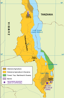
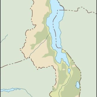
Malawi vegetation eps map vector
70.00 € Select options -

Malawi EPS map vector
80.00 € Select options -
Malawi economic eps map vector
75.00 € Select options -
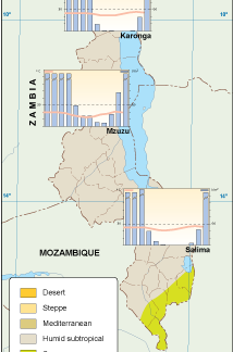
Malawi climate eps map vector
65.00 € Select options -

malawi illustrator eps map vector
29.00 € Select options -
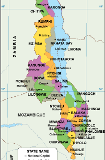
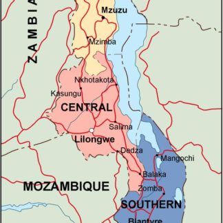
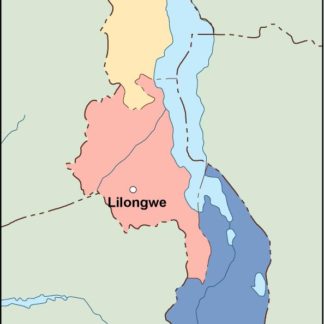
malawi political eps map vector
99.00 € Select options -
malawi blind eps map vector
35.00 € Select options -
malawi eps map vector
39.00 € Select options
Showing all 11 results