Zimbabwe Vector EPS maps
Our collection of digital maps in Adobe Illustrator EPS format includes maps of various countries, including Zimbabwe. These maps are designed to be highly detailed and accurate, providing users with a comprehensive view of the country’s geography, topography, and infrastructure.
The Zimbabwe Vector EPS maps in our collection feature a range of important information, including the location of major cities and towns, as well as key landmarks and natural features. This information is presented in a clear and easy-to-read format, making it ideal for a wide range of applications, from educational materials to business presentations.
Whether you are looking to explore the country’s rich history and culture, or simply need a reliable map for navigation purposes, our collection of Zimbabwe Vector EPS maps is the perfect resource. So why wait? Browse our collection today and discover the many benefits of using digital maps in Adobe Illustrator EPS format.
Showing all 11 results
-

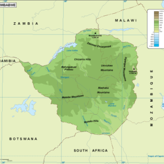
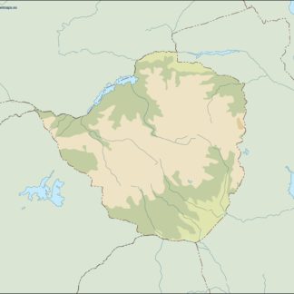
Zimbabwe physical eps map vector
50.00 € Select options -
Zimbabwe transportation eps map vector
55.00 € Select options -
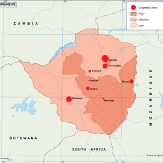
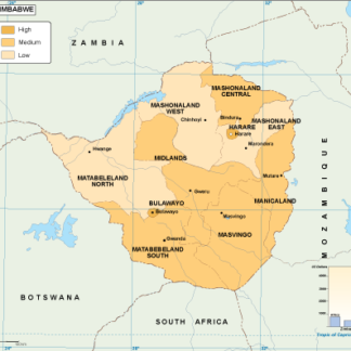
Zimbabwe population eps map vector
60.00 € Select options -
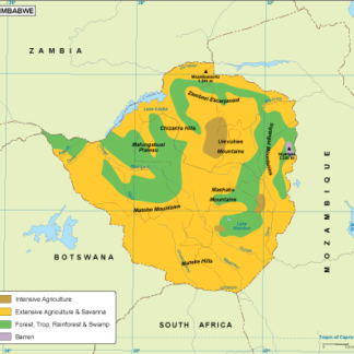
Zimbabwe vegetation eps map vector
70.00 € Select options -
Zimbabwe EPS map vector
80.00 € Select options -
Zimbabwe economic eps map vector
75.00 € Select options -
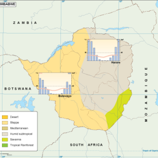
Zimbabwe climate eps map vector
65.00 € Select options -
zimbabwe illustrator eps map vector
29.00 € Select options -
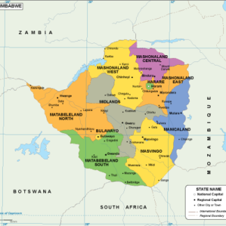
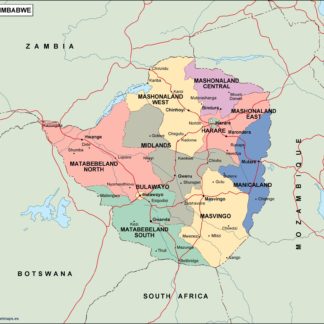
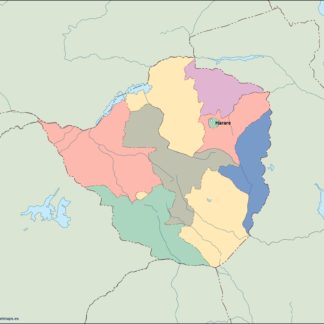
zimbabwe political eps map vector
99.00 € Select options -
zimbabwe blind eps map vector
35.00 € Select options -
zimbabwe eps map vector
39.00 € Select options

Showing all 11 results