Lithuania Vector EPS maps
EPSmaps.com offers a wide range of digital map collections for businesses, including Lithuania Vector EPS maps. These maps are created using Adobe Illustrator EPS, ensuring high-quality and accurate representations of the country’s geography.
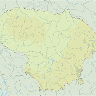
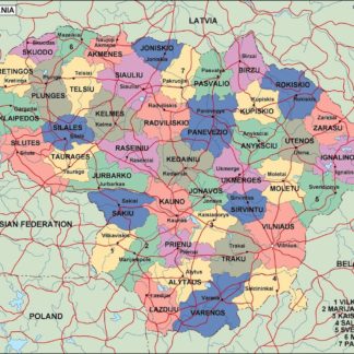
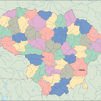
Lithuania Vector EPS maps showcase the country’s location in Northern Europe, bordered by Latvia, Belarus, Poland, and Russia. The maps also highlight important cities such as Vilnius, Kaunas, and Klaipeda, as well as major bodies of water like the Baltic Sea and the Nemunas River.
These digital maps are perfect for businesses operating in Lithuania, providing a detailed and comprehensive overview of the country’s geography. They can be used for a variety of purposes, including marketing, logistics, and planning.
EPSmaps.com’s Lithuania Vector EPS maps are easy to use and customizable, allowing businesses to add their own data and information to the maps. They are also available in different formats, including PDF, JPEG, and PNG, making them accessible to a wide range of users.
Overall, EPSmaps.com’s Lithuania Vector EPS maps are an essential tool for businesses operating in Lithuania, providing accurate and detailed information about the country’s geography and important locations.
Showing all 10 resultsSorted by latest
-

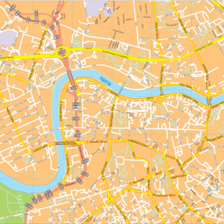
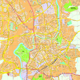
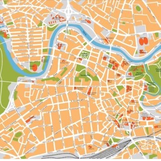
Vilnius Vector EPS map vector
280.00 € Select options -
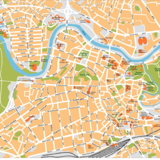
Vilnius Illustrator eps map vector
160.00 € Select options -
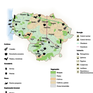
Lithuania Economic eps map vector
75.00 € Select options -
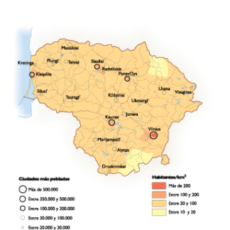
Lithuania Population eps map vector
60.00 € Select options -
lithuania illustrator eps map vector
29.00 € Select options -
lithuania political eps map vector
99.00 € Select options -
lithuania blind eps map vector
35.00 € Select options -
lithuania eps map vector
39.00 € Select options -
Vilnius eps map vector
495.00 € Select options -
Vilnius eps illustrator vector map
140.00 € Select options

Showing all 10 resultsSorted by latest