City Illustrator Maps
City Illustrator Maps is a collection of digital maps in Adobe Illustrator EPS format that showcase the geography and important landmarks of various countries around the world. These maps are designed to be visually appealing and easy to use, making them ideal for a wide range of applications, from educational materials to marketing campaigns.
Each map in the collection is carefully crafted to provide accurate and up-to-date information about the country it represents. This includes details about the country’s location, major cities, and important landmarks, such as mountains, rivers, and national parks.
One of the key features of City Illustrator Maps is their high level of detail. Each map is created using vector graphics, which means that they can be scaled up or down without losing any quality. This makes them ideal for use in a variety of different contexts, from large-scale posters to small brochures.
In addition to their visual appeal, City Illustrator Maps are also highly functional. They are designed to be easy to edit and customize, allowing users to add their own text, graphics, and other elements as needed. This makes them ideal for use in a wide range of applications, from educational materials to marketing campaigns.
Overall, City Illustrator Maps are an excellent resource for anyone looking to showcase the geography and important landmarks of various countries around the world. With their high level of detail, visual appeal, and ease of use, they are sure to be a valuable addition to any project or campaign.
Showing 1–16 of 87 resultsSorted by latest
-

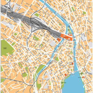
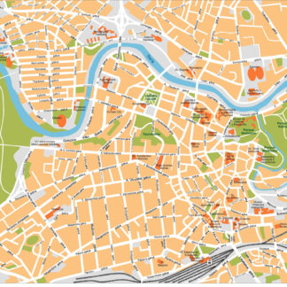
Zurich Illustrator eps map vector
160.00 € Select options -
Zagreb Illustrator eps map vector
160.00 € Select options -
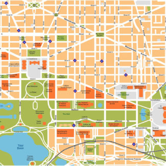
Washington Illustrator eps map vector
160.00 € Select options -
Warsaw Illustrator eps map vector
160.00 € Select options -
Vilnius Illustrator eps map vector
160.00 € Select options -
Vienna Illustrator eps map vector
160.00 € Select options -
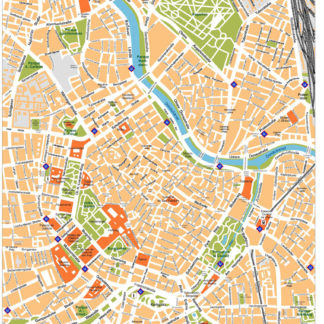
Venice Illustrator eps map vector
160.00 € Select options -
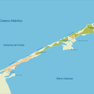
Varadero Illustrator eps map vector
160.00 € Select options -
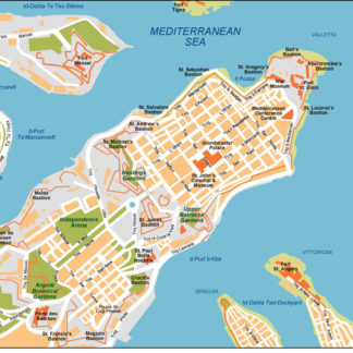
Valleta Illustrator eps map vector
160.00 € Select options -
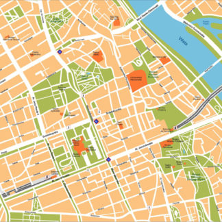
Valencia Illustrator eps map vector
160.00 € Select options -
Toronto Illustrator eps map vector
160.00 € Select options -
Tirana Illustrator eps map vector
160.00 € Select options -
Tashkent Illustrator eps map vector
160.00 € Select options -
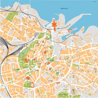
Tallinn Illustrator eps map vector
160.00 € Select options -
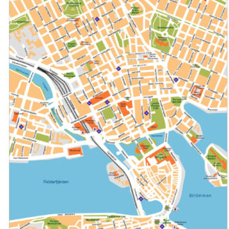
Stockholm Illustrator eps map vector
160.00 € Select options -
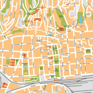
Sofia Illustrator eps map vector
160.00 € Select options

Showing 1–16 of 87 resultsSorted by latest