Chile Vector EPS maps
EPSmaps.com offers a wide range of digital map collections for businesses in Adobe Illustrator EPS format. Our maps are designed to provide accurate and detailed information about different countries and regions around the world. One of our popular collections is the Chile Vector EPS maps.
Our Chile Vector EPS maps are created using the latest technology and are designed to provide businesses with accurate and up-to-date information about the country. The maps include detailed information about the country’s geography, including its borders, major cities, and important landmarks.
Chile is a long and narrow country located in South America, bordered by Peru to the north, Bolivia to the northeast, Argentina to the east, and the Pacific Ocean to the west. The country is known for its diverse landscapes, including the Andes Mountains, the Atacama Desert, and the Chilean Patagonia.
Our Chile Vector EPS maps include detailed information about the country’s major cities, including Santiago, Valparaiso, and Concepcion. These cities are important economic and cultural centers in Chile, and our maps provide businesses with accurate information about their locations and key features.
In addition to providing accurate information about Chile’s geography and major cities, our Chile Vector EPS maps also include information about the country’s transportation infrastructure, including major highways, airports, and seaports. This information is essential for businesses that need to plan logistics and transportation routes in Chile.
Overall, our Chile Vector EPS maps are an essential tool for businesses operating in Chile. They provide accurate and detailed information about the country’s geography, major cities, and transportation infrastructure, helping businesses to make informed decisions and plan for success.
Showing all 4 results
-

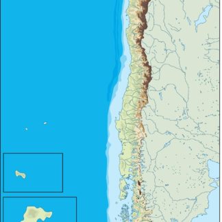
chile illustrator eps map vector
29.00 € Select options -
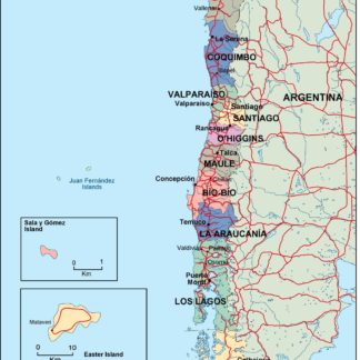
chile political eps map vector
99.00 € Select options -
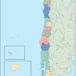
chile blind eps map vector
35.00 € Select options -
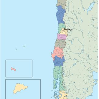
chile eps map vector
39.00 € Select options
Showing all 4 results